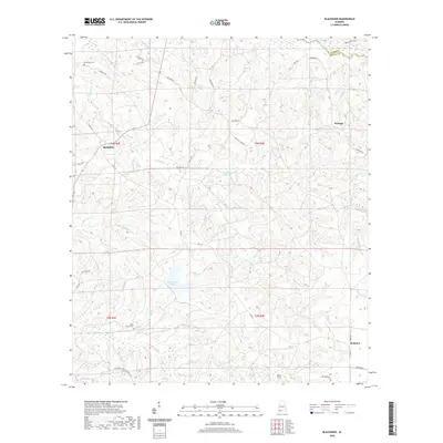
2020 Map of Blacksher
USGS Topo · Published 2020About this map
Blacksher and the surrounding Baldwin County landscape are defined by a dense network of creek branches and rural routes near the Monroe County line. The settlement of Serange sits to the northeast, while Redtown occupies the southeastern corner of the quadrangle. For genealogists and local historians, Dixie Church-Cem and Steadham Cem provide significant points of interest for tracing family roots in this corner of Alabama.
Find a feature on this map
47 named features on this map. Tap any name to fly to it.
Don’t see what you’re looking for? This feature index may not catch every label — zoom into the map to look around manually.
Map Details
Editions of this 2020 Blacksher Map
This is the sole edition of this map. No revisions or reprints were ever made.
Other maps of this area

1942 · Perdido
USGS Topo · 1:62,500

1943 · Choctaw Bluff
USGS Topo · 1:62,500

1943 · Tensaw
USGS Topo · 1:62,500

1944 · Tensaw
USGS Topo · 1:62,500

1944 · Perdido
USGS Topo · 1:62,500

1946 · Choctaw Bluff
USGS Topo · 1:62,500

1953 · Andalusia
USGS Topo · 1:250,000

1957 · Andalusia
USGS Topo · 1:250,000

1972 · Chrysler
USGS Topo · 1:24,000

1972 · Uriah West
USGS Topo · 1:24,000