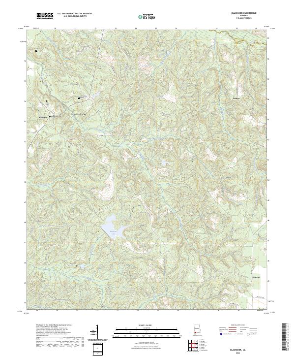
2024 Map of Blacksher
USGS Topo · Published 2024About this map
Lee Slaughter Family Cem and the Tate-Tunstall Family Cem sit among the many family burial grounds that anchor the landscape of northern Baldwin County. This territory, defined by the winding course of the Little River and the varied drainages of Turkey Creek and Majors Creek, illustrates a rural Alabama settlement pattern where family history is etched into the terrain. The community of Blacksher serves as a western landmark, while Patterson Lake provides a central water feature amidst a complex network of timber and access roads like Container Corp of America Rd. Moving east toward the border of Monroe County, the map details the small settlements of Serange and Redtown, linked by local routes such as Scranage Rd. The prevalence of sites like the Wilson Family Cem and Dixie Church Cem offers significant data for genealogists tracing lineage through these quiet, creek-fed townships.
Find a feature on this map
49 named features on this map. Tap any name to fly to it.
Don’t see what you’re looking for? This feature index may not catch every label — zoom into the map to look around manually.
Map Details
Editions of this 2024 Blacksher Map
This is the sole edition of this map. No revisions or reprints were ever made.
Other maps of this area

1942 · Perdido
USGS Topo · 1:62,500

1943 · Choctaw Bluff
USGS Topo · 1:62,500

1943 · Tensaw
USGS Topo · 1:62,500

1944 · Tensaw
USGS Topo · 1:62,500

1944 · Perdido
USGS Topo · 1:62,500

1946 · Choctaw Bluff
USGS Topo · 1:62,500

1953 · Andalusia
USGS Topo · 1:250,000

1957 · Andalusia
USGS Topo · 1:250,000

1972 · Chrysler
USGS Topo · 1:24,000

1972 · Uriah West
USGS Topo · 1:24,000