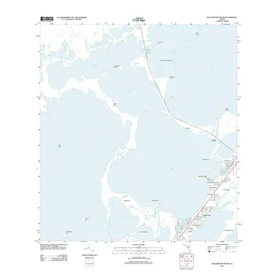
2012 Map of Blackwater Sound
USGS Topo · Published 2012About this map
Blackwater Sound serves as the dominant aquatic feature of this upper Keys landscape, where a complex network of channels and basins connects the Florida mainland to the Atlantic. Residential development is concentrated along the eastern corridor of Key Largo, specifically within neighborhoods like Sexton Cove and Anglers Park. These communities are defined by a grid of streets such as Barracuda Blvd and Transylvania Ave, many of which provide direct water access via artificial canals.
Find a feature on this map
66 named features on this map. Tap any name to fly to it.
Don’t see what you’re looking for? This feature index may not catch every label — zoom into the map to look around manually.
Map Details
Editions of this 2012 Blackwater Sound Map
This is the sole edition of this map. No revisions or reprints were ever made.
Other maps of this area

1947 · Garden Cove
USGS Topo · 1:24,000

1947 · Rock Harbor
USGS Topo · 1:24,000

1947 · Blackwater Sound
USGS Topo · 1:24,000

1949 · Blackwater Sound
USGS Topo · 1:24,000

1949 · Rock Harbor
USGS Topo · 1:24,000

1949 · Garden Cove
USGS Topo · 1:24,000

1949 · Card Sound
USGS Topo · 1:24,000

1950 · Glades
USGS Topo · 1:24,000

1956 · Card Sound
USGS Topo · 1:24,000

1956 · Glades
USGS Topo · 1:24,000