Loading...
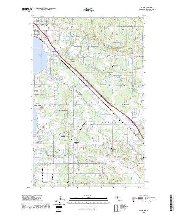
Loading map...2023 Map of Blaine
USGS Topo · Published 2023About this map
Blaine and the surrounding Whatcom County landscape are defined by the intricate waterways and coastal features along the Canadian border. The community of Custer stands inland, connected to the coast via Birch Bay Lynden Rd and Portal Way. The map reveals a high density of rural burial grounds that speak to the area's early settlement history, including Blaine Cem, Haynie Cem, Hillsdale Cem, Zion Lutheran Cem, and Enterprise Cem.
Find a feature on this map
132 named features on this map. Tap any name to fly to it.
Don’t see what you’re looking for? This feature index may not catch every label — zoom into the map to look around manually.
Map Details
Date Portrayed2023
Date Published2023
PublisherU.S. Geological Survey
Map TypeTopographic
Scale1:24000
Physical Dimensions24 x 29 inches
Editions of this 2023 Blaine Map
This is the sole edition of this map. No revisions or reprints were ever made.
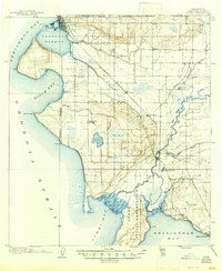
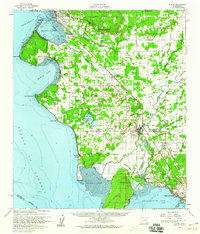
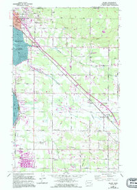
Historical Maps of Kickerville Through Time
4 maps found
Featured Locations
Source Details
SourceU.S. Geological Survey
CopyrightPublic Domain