Loading...
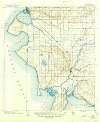
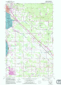
Loading map...1907 Map of Blaine
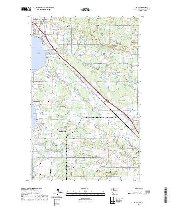
USGS Topo · Published 1947About this map
The United States - Canada Boundary Line marks the northern edge of this coastal landscape, where the port of Blaine sits as a gateway at the edge of Drayton Harbor. Inland, the Great Northern RR cuts through the lowlands, connecting the frontier settlements of Custer and Ferndale with the growing hub of Bellingham to the south. The terrain is a mix of saltwater marshes, like Elk Marsh, and small glacial lakes including Lake Terrell and Willey Lake.
Find a feature on this map
48 named features on this map. Tap any name to fly to it.
Don’t see what you’re looking for? This feature index may not catch every label — zoom into the map to look around manually.
Map Details
Date Portrayed1907
Date Published1947
PublisherU.S. Geological Survey
Map TypeTopographic
Scale1:62,500
Physical Dimensions17 x 20.8 inches
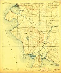
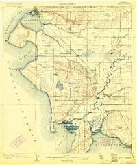
Editions of this 1907 Blaine Map
3 editions found
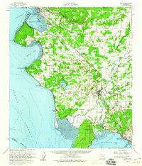
Historical Maps of Bellingham Through Time
4 maps found
Featured Locations
Source Details
SourceU.S. Geological Survey
CopyrightPublic Domain