
1952 Map of Lynden
USGS Topo · Published 1954About this map
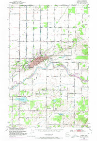
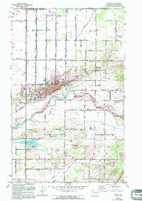
Nooksack River winding through the heart of northern Whatcom County defines the landscape of this mid-century survey, flanked by a complex system of levees protecting the agricultural valley. The town of Lynden serves as the central hub, organized on a grid south of Fishtrap Creek and north of its historic fairgrounds. Further north, the international border is clearly marked along Boundary Road, where the Canada United States line meets the agricultural expanse of North Prairie.
Find a feature on this map
82 named features on this map. Tap any name to fly to it.
Don’t see what you’re looking for? This feature index may not catch every label — zoom into the map to look around manually.
Map Details
Editions of this 1952 Lynden Map
3 editions found
Other maps of this area

1906 · Sumas
USGS Topo · 1:62,500

1907 · Blaine
USGS Topo · 1:62,500

1908 · Sumas
USGS Topo · 1:62,500

1952 · Bertrand Creek
USGS Topo · 1:24,000

1952 · Lawrence
USGS Topo · 1:24,000

1952 · Sumas
USGS Topo · 1:24,000

1952 · Ferndale
USGS Topo · 1:24,000

1952 · Blaine
USGS Topo · 1:62,500

1954 · Bellingham North
USGS Topo · 1:24,000

1954 · Lynden
USGS Topo · 1:62,500