
1954 Map of Lynden
USGS Topo · Published 1960About this map
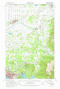
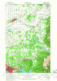
The Canada United States border forms the northern limit of this mid-century survey, where the Nooksack River and Sumas River define the local drainage and settlement patterns. The agricultural landscape is densely articulated with community landmarks, from the Laurel Grange and Tenmile Grange to the Northwood Church. Transportation hubs like Lynden, Sumas, and Everson are connected by a complex web of roads such as North Prairie Road and the Mt Baker Highway, alongside the tracks of the Milwaukee Road and Northern Pacific RR. To the south, the terrain rises sharply toward the wooded heights of Squalicum Mountain and Sumas Mountain, overlooking the industrial operations at Larson Mill and the lakeside recreation at Bloedel-Donovan Park on the shores of Whatcom Lake.
Find a feature on this map
83 named features on this map. Tap any name to fly to it.
Don’t see what you’re looking for? This feature index may not catch every label — zoom into the map to look around manually.
Map Details
Editions of this 1954 Lynden Map
3 editions found
Other maps of this area

1906 · Sumas
USGS Topo · 1:62,500

1907 · Blaine
USGS Topo · 1:62,500

1908 · Sumas
USGS Topo · 1:62,500

1918 · Samish Lake
USGS Topo · 1:62,500

1919 · Van Zandt
USGS Topo · 1:62,500

1921 · Wickersham
USGS Topo · 1:62,500

1943 · Anacortes
USGS Topo · 1:62,500

1951 · Wickersham
USGS Topo · 1:62,500

1951 · Anacortes
USGS Topo · 1:62,500

1951 · Van Zandt
USGS Topo · 1:62,500