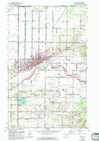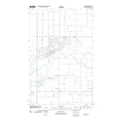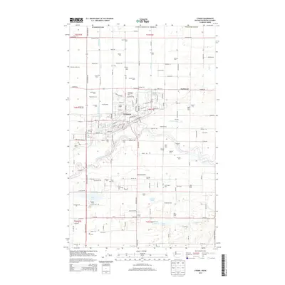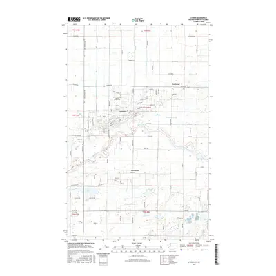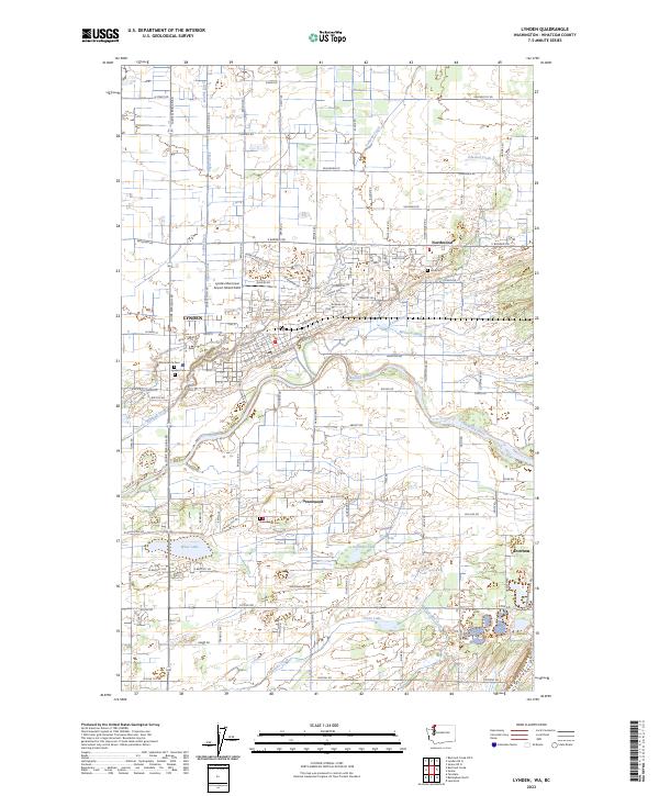
1954 Map of Lynden
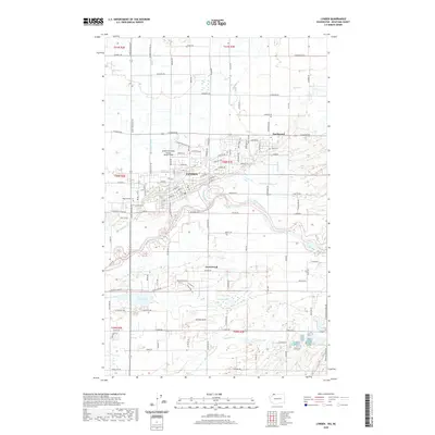
USGS Topo · Published 1968About this map
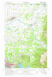
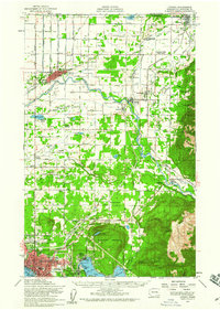
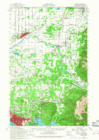
The Nooksack River defines the drainage and settlement patterns of Whatcom County in this mid-century survey, winding from the eastern slopes of Sumas Mountain toward the agricultural flats of Lynden and Everson. The landscape is a mix of fertile river valleys and upland timber, where the Chicago Milwaukee St Paul and Pacific and Northern Pacific railroads connect established farming communities. Local genealogy is anchored by specific sites such as the Indian Joe Cemetery and the Laurel Grange, alongside rural schools like Harmony School. In the southern portion of the map, the industrial and urban transition is clear as Bellingham expands toward Lake Whatcom, marked by the Larson Mill and the expansive Bayview Cemetery. The international boundary is clearly delineated, showing the close proximity of Sumas to the Canada United States border.
Find a feature on this map
91 named features on this map. Tap any name to fly to it.
Don’t see what you’re looking for? This feature index may not catch every label — zoom into the map to look around manually.
Map Details
Editions of this 1954 Lynden Map
3 editions found
Historical Maps of Bellingham Through Time
7 maps found