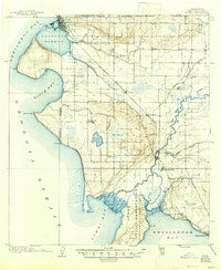
1952 Map of Blaine
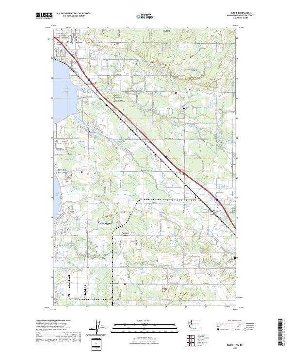
USGS Topo · Published 1960About this map
The United States Canada international boundary anchors this coastal survey, where the city of Blaine sits as a primary port of entry beside Semiahmoo Bay. The landscape is defined by the sweeping arcs of Birch Bay and Lummi Bay, separated by significant coastal features like Birch Point and Cherry Point. Moving inland from the Strait of Georgia, the terrain transitions into a network of drainage systems including Dakota Creek and the Nooksack River, which feeds into the broad Lummi Flats.
Find a feature on this map
77 named features on this map. Tap any name to fly to it.
Don’t see what you’re looking for? This feature index may not catch every label — zoom into the map to look around manually.
Map Details
Editions of this 1952 Blaine Map
This is the sole edition of this map. No revisions or reprints were ever made.
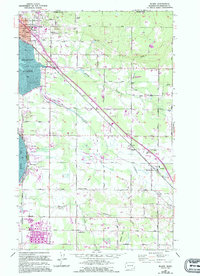
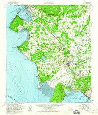
Historical Maps of Bellingham Through Time
4 maps found