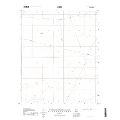
2020 Map of Blakemore Well
USGS Topo · Published 2020About this map
Blakemore Well serves as the primary landmark in this expanse of Socorro County, reflecting the critical role of water infrastructure in the high desert of the Tularosa Basin region. The landscape is dominated by the geometric precision of the Public Land Survey System, with township and range lines like t8s r2e and t9s r3e providing the only human-imposed structure across the open terrain. Transportation is limited to functional access paths such as Wsmr P Route 5, a route that underscores the area's integration into the White Sands Missile Range. This 2020 survey illustrates a sparsely developed environment where historic ranching or military utility centers on isolated features, offering researchers a look at how administrative and military boundaries shape the geography of modern New Mexico.
Find a feature on this map
2 named features on this map. Tap any name to fly to it.
Don’t see what you’re looking for? This feature index may not catch every label — zoom into the map to look around manually.
Map Details
Editions of this 2020 Blakemore Well Map
This is the sole edition of this map. No revisions or reprints were ever made.
Other maps of this area

1916 · Salinas Peak
USGS Topo · 1:125,000

1948 · Granjean Well
USGS Topo · 1:62,500

1948 · Val Verde
USGS Topo · 1:62,500

1948 · Malpais Well
USGS Topo · 1:62,500

1948 · Salinas Peak
USGS Topo · 1:62,500

1954 · Tularosa
USGS Topo · 1:250,000

1958 · Tularosa
USGS Topo · 1:250,000

1981 · Fairview Mountain
USGS Topo · 1:24,000
1981 · Greens Baber Well
USGS Topo · 1:24,000

1981 · Granjean Well
USGS Topo · 1:24,000