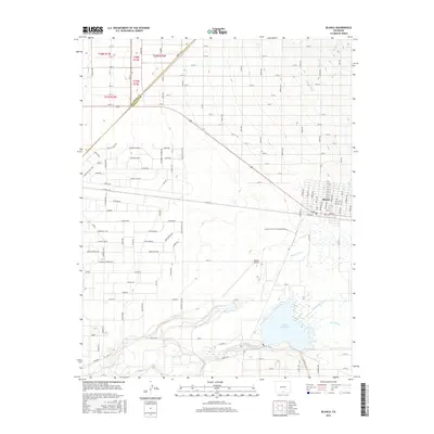
2016 Map of Blanca
USGS Topo · Published 2016About this map
The settlement of Blanca occupies the eastern edge of the San Luis Valley, situated at the boundary between Alamosa and Costilla counties. This 2016 survey shows a grid of numbered streets and avenues north of Main St, indicating a planned expansion or high-density development area that transitions abruptly into the surrounding agricultural and riparian landscape. To the south, the hydrologic network is the primary feature, where Trinchera Cr and Sangre de Cristo Cr feed into the prominent Smith Reservoir. The landscape's irrigation dependency is marked by the presence of the Garland Ditch and Newton Ditch, which redirect water through the arid terrain. The Blanca Airport serves as a modern transportation hub west of the town, while Us-160 provides the major arterial connection through the region.
Find a feature on this map
79 named features on this map. Tap any name to fly to it.
Don’t see what you’re looking for? This feature index may not catch every label — zoom into the map to look around manually.
Map Details
Editions of this 2016 Blanca Map
This is the sole edition of this map. No revisions or reprints were ever made.
Other maps of this area

1889 · Huerfano Park
USGS Topo · 1:125,000

1892 · Huerfano Park
USGS Topo · 1:125,000

1954 · Trinidad
USGS Topo · 1:250,000

1955 · Trinidad
USGS Topo · 1:250,000

1958 · Trinidad
USGS Topo · 1:250,000

1959 · Trinidad
USGS Topo · 1:250,000

1965 · Blanca
USGS Topo · 1:24,000

1965 · Baldy
USGS Topo · 1:24,000

1965 · Lasauses
USGS Topo · 1:24,000

1965 · Blanca SE
USGS Topo · 1:24,000