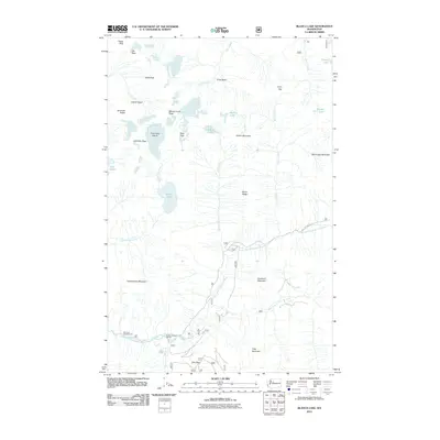
2011 Map of Blanca Lake
USGS Topo · Published 2011About this map
Garland Mineral Springs and the San Juan Campground anchor the lower elevations of this high-altitude landscape, where the North Fork Skykomish River begins its descent. The map highlights a dramatic alpine environment dominated by the Columbia Glacier and towering summits like Monte Cristo Peak and Columbia Peak.
Find a feature on this map
36 named features on this map. Tap any name to fly to it.
Don’t see what you’re looking for? This feature index may not catch every label — zoom into the map to look around manually.
Map Details
Editions of this 2011 Blanca Lake Map
This is the sole edition of this map. No revisions or reprints were ever made.
Other maps of this area

1899 · Glacier Peak
USGS Topo · 1:125,000

1901 · Glacier Peak
USGS Topo · 1:125,000

1902 · Skykomish
USGS Topo · 1:125,000

1905 · Skykomish
USGS Topo · 1:125,000

1950 · Glacier Peak
USGS Topo · 1:62,500

1955 · Concrete
USGS Topo · 1:250,000

1957 · Wenatchee
USGS Topo · 1:250,000

1958 · Concrete
USGS Topo · 1:250,000

1962 · Concrete
USGS Topo · 1:250,000

1965 · Captain Point
USGS Topo · 1:24,000