Loading...
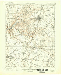
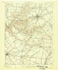
Loading map...1907 Map of Blanchester
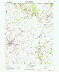
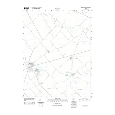
USGS Topo · Published 1948About this map
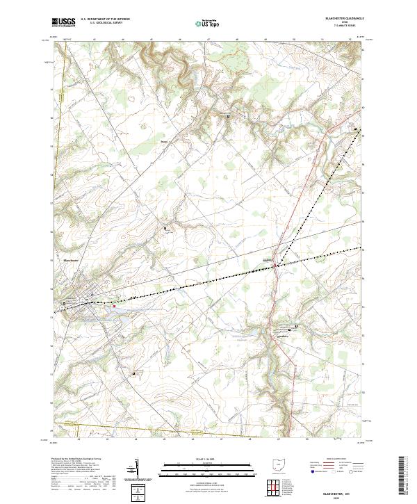
Wilmington serves as the central hub of this turn-of-the-century landscape, where the Baltimore and Ohio Southwestern RR and the Cincinnati and Muskingum Valley RR intersect. The map illustrates a densely settled agricultural region defined by its reliance on both rail and pike, with numerous small communities such as Blanchester, Lynchburg, and Martinsville anchoring the township boundaries. Local civic life is prominent, evidenced by the County Infirmary and Fairgrounds near the county seat.
Find a feature on this map
82 named features on this map. Tap any name to fly to it.
Don’t see what you’re looking for? This feature index may not catch every label — zoom into the map to look around manually.
Map Details
Date Portrayed1907
Date Published1948
PublisherU.S. Geological Survey
Map TypeTopographic
Scale1:62,500
Physical Dimensions17 x 20.8 inches
Editions of this 1907 Blanchester Map
3 editions found

Historical Maps of Wilmington Through Time
7 maps found
Featured Locations
Source Details
SourceU.S. Geological Survey
CopyrightPublic Domain