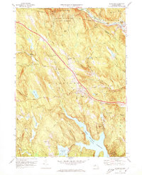
1972 Map of Blandford
USGS Topo · Published 1973About this map
The hills of western Massachusetts are defined here by the winding course of the West Branch Westfield River and the industrial corridor of the Penn Central railroad near Huntington. This area is a patchwork of conservation land and small settlements, featuring the extensive Chester-Blandford State Forest and northern portions of Tolland State Forest. The town of Blandford serves as a central hub, surrounded by family-named landmarks and water bodies like Blair Pond and Dunlap Pond.
Find a feature on this map
108 named features on this map. Tap any name to fly to it.
Don’t see what you’re looking for? This feature index may not catch every label — zoom into the map to look around manually.
Map Details
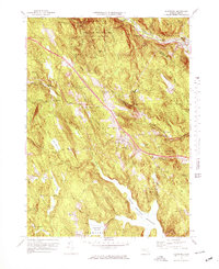
Editions of this 1972 Blandford Map
2 editions found
Other maps of this area

1886 · Chesterfield
USGS Topo · 1:62,500

1886 · Becket
USGS Topo · 1:62,500

1887 · Granville
USGS Topo · 1:62,500

1888 · Becket
USGS Topo · 1:62,500

1888 · Sandisfield
USGS Topo · 1:62,500

1888 · Chesterfield
USGS Topo · 1:62,500

1889 · Granville
USGS Topo · 1:62,500

1893 · Granville
USGS Topo · 1:62,500

1893 · Chesterfield
USGS Topo · 1:62,500

1893 · Becket
USGS Topo · 1:62,500