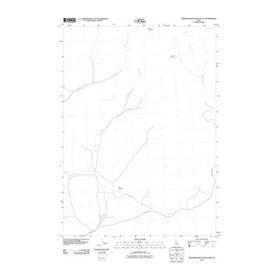
2010 Map of Blizzard Mountain South
USGS Topo · Published 2010About this map
Paymaster Mine sits in the high desert terrain of southern Idaho, marking a point of industrial interest just south of Blizzard Mountain. This 2010 survey shows a landscape defined by its volcanic geology and drainage systems, where Lava Lake is fed by the southward flow of Copper Creek. The hydrology of the area is complex, with Lava Creek, South Lava Creek, and Cottonwood Creek carving paths through the arid basins.
Find a feature on this map
12 named features on this map. Tap any name to fly to it.
Don’t see what you’re looking for? This feature index may not catch every label — zoom into the map to look around manually.
Map Details
Editions of this 2010 Blizzard Mountain South Map
This is the sole edition of this map. No revisions or reprints were ever made.
Other maps of this area

1935 · MacKay
USGS Topo · 1:96,000

1955 · Idaho Falls
USGS Topo · 1:250,000

1958 · Idaho Falls
USGS Topo · 1:250,000

1960 · Muldoon Canyon
USGS Topo · 1:62,500

1960 · Grouse
USGS Topo · 1:62,500

1972 · North Laidlaw Butte
USGS Topo · 1:24,000

1972 · Little Park
USGS Topo · 1:24,000

1972 · Inferno Cone
USGS Topo · 1:24,000

1972 · Blizzard Mtn South
USGS Topo · 1:24,000

1978 · Craters Of The Moon
USGS Topo · 1:100,000