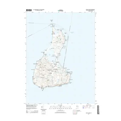
2015 Map of Block Island
USGS Topo · Published 2015About this map
New Shoreham serves as the central hub of this island landscape, where the maritime economy and residential life converge. The layout reflects a reliance on seasonal ferry connections such as the Point Judith-Block Island Fry and Montauk-Block Island Fry, which link the island to the mainland. Settlement patterns are concentrated around the Old Harbor Landing and the protected waters of Great Salt Pond, while the interior remains a mosaic of small freshwater bodies like Sands Pond and Fresh Pond.
Find a feature on this map
134 named features on this map. Tap any name to fly to it.
Don’t see what you’re looking for? This feature index may not catch every label — zoom into the map to look around manually.
Map Details
Editions of this 2015 Block Island Map
This is the sole edition of this map. No revisions or reprints were ever made.
Other maps of this area

1889 · Charlestown
USGS Topo · 1:62,500

1889 · Newport
USGS Topo · 1:62,500

1889 · Block Island
USGS Topo · 1:62,500

1894 · Block Island
USGS Topo · 1:62,500

1894 · Newport
USGS Topo · 1:62,500

1899 · Block Island
USGS Topo · 1:62,500

1904 · Newport
USGS Topo · 1:62,500

1919 · Charlestown
USGS Topo · 1:62,500
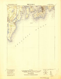
1920 · Newport
USGS Topo · 1:62,500

1921 · Charlestown
USGS Topo · 1:62,500