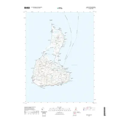
2021 Map of Block Island
USGS Topo · Published 2021About this map
New Shoreham serves as the central hub of this island landscape, where the local road network radiates toward the numerous coastal ponds and historic burial grounds that define the community's heritage. The interior is a complex mosaic of water and marsh, including Great Salt Pond, Sachem Pond, and the Great Swamp. Genealogists will find a high density of small family and community graveyards, such as the Palentine Graves Cem and the Sands - Thompson Cem, scattered among the glacial terrain. The map details the maritime infrastructure necessary for island life, from the Newport - Block Island Ferry routes to the Block Island State Airport. This survey also documents coastal features like Settlers Rock at the northern tip and the prominent Clayhead Bluffs, illustrating the ongoing relationship between the Atlantic and the island's receding shoreline.
Find a feature on this map
129 named features on this map. Tap any name to fly to it.
Don’t see what you’re looking for? This feature index may not catch every label — zoom into the map to look around manually.
Map Details
Editions of this 2021 Block Island Map
This is the sole edition of this map. No revisions or reprints were ever made.
Other maps of this area

1889 · Charlestown
USGS Topo · 1:62,500

1889 · Newport
USGS Topo · 1:62,500

1889 · Block Island
USGS Topo · 1:62,500

1894 · Block Island
USGS Topo · 1:62,500

1894 · Newport
USGS Topo · 1:62,500

1899 · Block Island
USGS Topo · 1:62,500

1904 · Newport
USGS Topo · 1:62,500

1919 · Charlestown
USGS Topo · 1:62,500
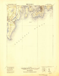
1920 · Newport
USGS Topo · 1:62,500

1921 · Charlestown
USGS Topo · 1:62,500