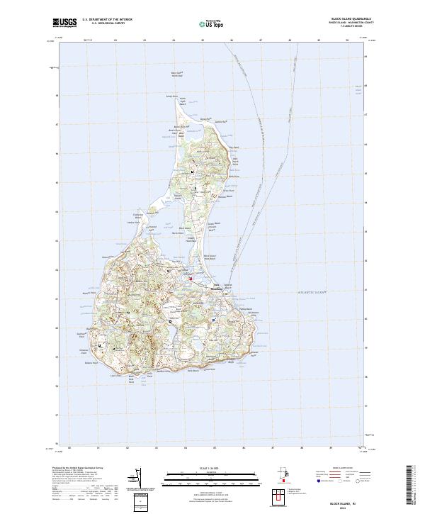
2024 Map of Block Island
USGS Topo · Published 2024About this map
New Shoreham serves as the central hub of this island landscape, where a network of historic roads like Mohegan Trl and Corn Neck Rd connects the interior to the coast. The map reveals a dense concentration of cemeteries, including the Island Cem and Indian Cem, reflecting deep ancestral roots and centuries of residence. To the north, the Block Island National Wildlife Refuge spans the narrow neck of land leading to Sandy Point and the North Ligth. The island's topography is defined by its numerous coastal features and interior water bodies, such as the expansive Great Salt Pond and the smaller Sands Pond. From the maritime landing at Old Harbor Point to the aviation access at the Block Island State Airport, the map details how this maritime community maintains its isolation through both traditional ferries and modern infrastructure.
Find a feature on this map
150 named features on this map. Tap any name to fly to it.
Don’t see what you’re looking for? This feature index may not catch every label — zoom into the map to look around manually.
Map Details
Editions of this 2024 Block Island Map
This is the sole edition of this map. No revisions or reprints were ever made.
Other maps of this area

1889 · Charlestown
USGS Topo · 1:62,500

1889 · Newport
USGS Topo · 1:62,500

1889 · Block Island
USGS Topo · 1:62,500

1894 · Block Island
USGS Topo · 1:62,500

1894 · Newport
USGS Topo · 1:62,500

1899 · Block Island
USGS Topo · 1:62,500

1904 · Newport
USGS Topo · 1:62,500

1919 · Charlestown
USGS Topo · 1:62,500
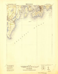
1920 · Newport
USGS Topo · 1:62,500

1921 · Charlestown
USGS Topo · 1:62,500