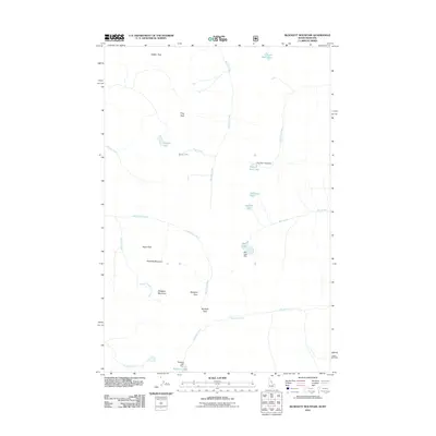
2011 Map of Blodgett Mountain
USGS Topo · Published 2011About this map
Blodgett Pass and the surrounding high-altitude terrain of the Bitterroot Range define this part of the Montana-Idaho border region. The landscape is characterized by a high-elevation drainage system feeding into numerous mountain lakes, several of which feature water-control infrastructure. Specific engineering is noted at Fred Burr Lake Dam, Mill Lake Dam, and Blodgett Lake Dam, indicating the management of alpine water resources for the valleys below.
Find a feature on this map
26 named features on this map. Tap any name to fly to it.
Don’t see what you’re looking for? This feature index may not catch every label — zoom into the map to look around manually.
Map Details
Editions of this 2011 Blodgett Mountain Map
This is the sole edition of this map. No revisions or reprints were ever made.
Other maps of this area

1901 · Hamilton
USGS Topo · 1:125,000

1911 · Lolo
USGS Topo · 1:250,000

1913 · Lolo
USGS Topo · 1:250,000

1956 · Hamilton
USGS Topo · 1:250,000

1959 · Hamilton
USGS Topo · 1:250,000

1960 · Hamilton
USGS Topo · 1:250,000

1964 · Hamilton
USGS Topo · 1:250,000

1964 · Tenmile Lake
USGS Topo · 1:24,000

1964 · Ward Mountain
USGS Topo · 1:24,000
1966 · Blodgett Mtn
USGS Topo · 1:24,000