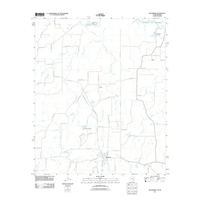
2011 Map of Bloomburg
USGS Topo · Published 2011About this map
Bloomburg and the surrounding Cass County landscape are defined by an intricate network of waterways and managed lakes just west of the Arkansas border. The area is dominated by the Cypress Creek drainage system and the Sulphur River, where industrial and private water management is evident at the International Paper Company Dam and Supervisors Club Pond. This 2011 survey captures the rural character of the region, where small settlements like Cass are linked by a grid of county roads and farm-to-market routes. The presence of Walters Cemetery provides a specific point of interest for genealogists tracing families in this corner of Northeast Texas. Further south, the terrain transitions toward the West Fork Kelly Bayou, illustrating the low-lying, water-heavy geography that has shaped local development and land use for generations.
Find a feature on this map
77 named features on this map. Tap any name to fly to it.
Don’t see what you’re looking for? This feature index may not catch every label — zoom into the map to look around manually.
Map Details
Editions of this 2011 Bloomburg Map
This is the sole edition of this map. No revisions or reprints were ever made.
Other maps of this area

1907 · Atlanta
USGS Topo · 1:62,500

1909 · Texarkana
USGS Topo · 1:62,500

1910 · Atlanta
USGS Topo · 1:62,500

1952 · Doddridge NW
USGS Topo · 1:24,000

1952 · Doddridge
USGS Topo · 1:24,000

1952 · Fouke
USGS Topo · 1:24,000

1953 · Texarkana
USGS Topo · 1:250,000

1953 · El Dorado
USGS Topo · 1:250,000

1954 · Domino
USGS Topo · 1:24,000

1954 · Lake Texarkana
USGS Topo · 1:24,000