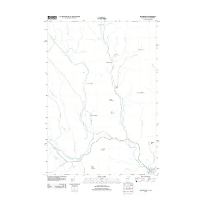
2012 Map of Bloomfield
USGS Topo · Published 2012About this map
Bloomfield serves as the primary settlement hub at the southeastern edge of this New Hampshire and Vermont border region. The landscape is dominated by the intricate drainage system of the Nulhegan River, including its north, east, and yellow branches, which carve through a series of named peaks such as Potash Mountain and French Mountain. This 2012 survey illustrates a remote woodland economy characterized by a network of numbered timber or recreational camps, ranging from Camp Number Ten in the north to Camp Number Fifteen further south. These outposts are connected by a mesh of primitive roads like Logger Brook Rd and Tornado Rd. To the east, Bloomfield Ridge and Spencer Hill rise above Hibbard Brook, providing a clear view of the transition from the river valley to the higher elevations of the Great North Woods.
Find a feature on this map
38 named features on this map. Tap any name to fly to it.
Don’t see what you’re looking for? This feature index may not catch every label — zoom into the map to look around manually.
Map Details
Editions of this 2012 Bloomfield Map
This is the sole edition of this map. No revisions or reprints were ever made.
Other maps of this area

1920 · Guildhall
USGS Topo · 1:62,500

1924 · Island Pond
USGS Topo · 1:48,000

1926 · Island Pond
USGS Topo · 1:62,500

1929 · Averill
USGS Topo · 1:62,500

1931 · Guildhall
USGS Topo · 1:48,000

1933 · Guildhall
USGS Topo · 1:48,000

1937 · Guildhall
USGS Topo · 1:62,500

1950 · Lewiston
USGS Topo · 1:250,000

1951 · Burke
USGS Topo · 1:62,500

1953 · Island Pond
USGS Topo · 1:62,500