
1937 Map of Guildhall
USGS Topo · Published 1937About this map
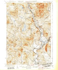
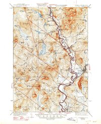
The Connecticut River winds through the heart of this valley, serving as the border between Vermont and New Hampshire during the early 1930s. This survey, compiled in part from Air Corps aerial photography, documents the industrial and transit landscape of the upper valley where the Maine Central and Boston and Maine railroads converge near Groveton. Numerous rural institutions, such as Chessman Sch and Stratford Center Sch, are scattered throughout the townships of Maidstone and Stratford, providing specific points of interest for genealogical research. The timber and water economy is evident through features like Browns Mill and the Walker Dam on the stream feeding Maidstone Lake. To the west, the landscape transitions into the high peaks and bogs of Ferdinand, where the Fire Tower stands atop Stone Mtn.
Find a feature on this map
142 named features on this map. Tap any name to fly to it.
Don’t see what you’re looking for? This feature index may not catch every label — zoom into the map to look around manually.
Map Details
Editions of this 1937 Guildhall Map
3 editions found
Other maps of this area

1893 · Mt. Washington
USGS Topo · 1:62,500

1896 · Mt. Washington
USGS Topo · 1:62,500

1900 · Whitefield
USGS Topo · 1:62,500

1920 · Guildhall
USGS Topo · 1:62,500

1924 · Island Pond
USGS Topo · 1:48,000

1926 · Island Pond
USGS Topo · 1:62,500

1929 · Averill
USGS Topo · 1:62,500

1930 · Percy
USGS Topo · 1:62,500

1930 · Dixville
USGS Topo · 1:62,500

1931 · Guildhall
USGS Topo · 1:48,000