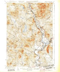
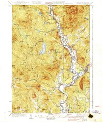
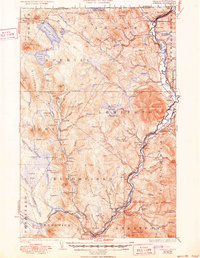
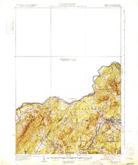
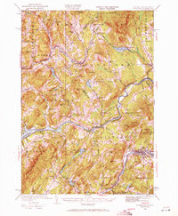
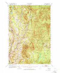
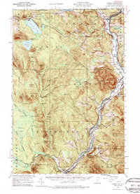
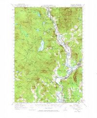
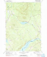
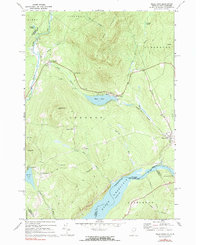
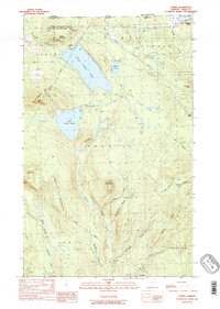
1937 Map of Guildhall
USGS Topo · Published 1937About this map
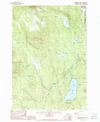
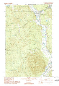
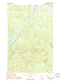
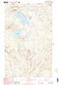
The Connecticut River serves as the winding spine of this 1930s landscape, demarcating the border between Essex County, Vermont, and Coos County, New Hampshire. Several railroad lines, including the Grand Trunk, Maine Central, and Boston And Maine, converge along this river corridor, supporting the industrial and transit needs of riverside settlements like Groveton, North Stratford, and Guildhall. The map reveals a highly organized rural infrastructure, documented by numerous small educational outposts such as Stratford Center Sch, Chessman Sch, and Riverside Sch.
Find a feature on this map
129 named features on this map. Tap any name to fly to it.
Don’t see what you’re looking for? This feature index may not catch every label — zoom into the map to look around manually.
Map Details
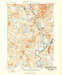
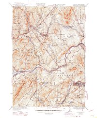
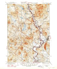
Editions of this 1937 Guildhall Map
3 editions found
Historical Maps of Lancaster Through Time
37 maps found

1920 Guildhall
Essex County, VT
1929 Averill
Essex County, VT

1931 Guildhall
Essex County, VT
1931 Littleton
Essex County, VT
1932 Littleton
Essex County, VT
1933 Guildhall
Essex County, VT
1935 Littleton
Essex County, VT
1937 Guildhall
Essex County, VT
1951 Burke
Essex County, VT
1953 Averill
Essex County, VT
1956 Guildhall
Essex County, VT
1967 Miles Pond
Essex County, VT
1968 Miles Pond
Essex County, VT
1978 Norton Port of Entry
Essex County, VT
1988 Bloomfield
Essex County, VT
1988 Gallup Mills
Essex County, VT
1988 Maidstone Lake
Essex County, VT
1988 Seneca Mountain
Essex County, VT
1988 Spectacle Pond
Essex County, VT
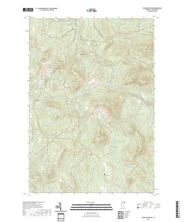
1988 Stone Mountain
Essex County, VT
1989 Averill
Essex County, VT
1989 Monadnock Mountain
Essex County, VT
1989 Norton Pond
Essex County, VT
1995 Averill
Essex County, VT
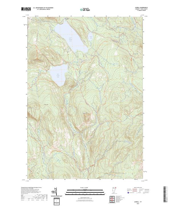
2024 Averill
Essex County, VT
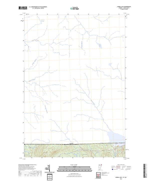
2024 Averill OE N
Essex County, VT
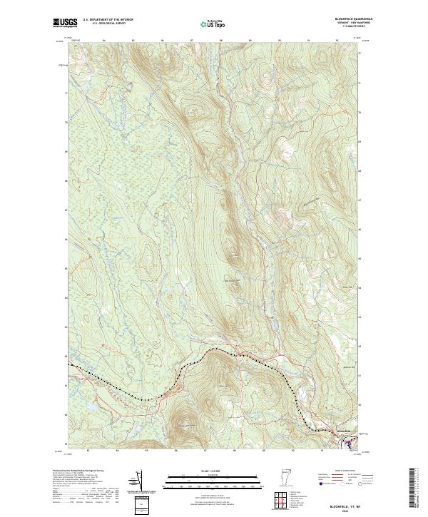
2024 Bloomfield
Essex County, VT
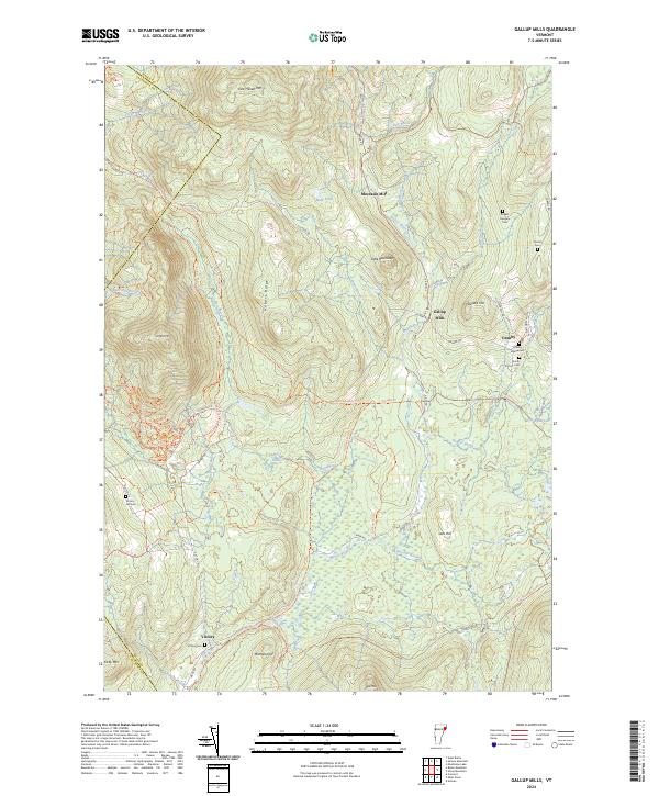
2024 Gallup Mills
Essex County, VT
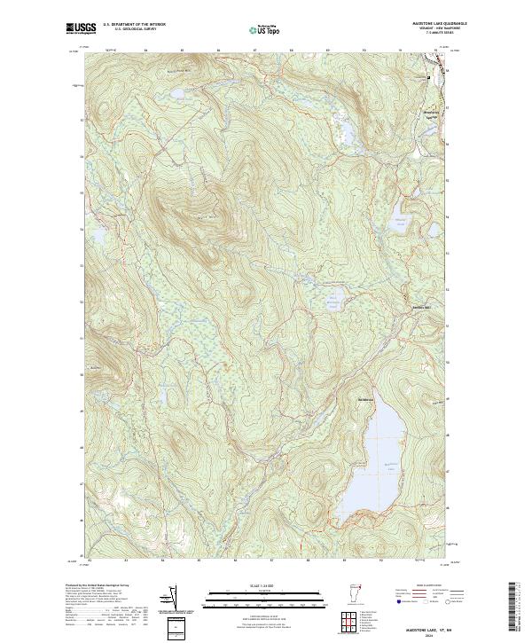
2024 Maidstone Lake
Essex County, VT
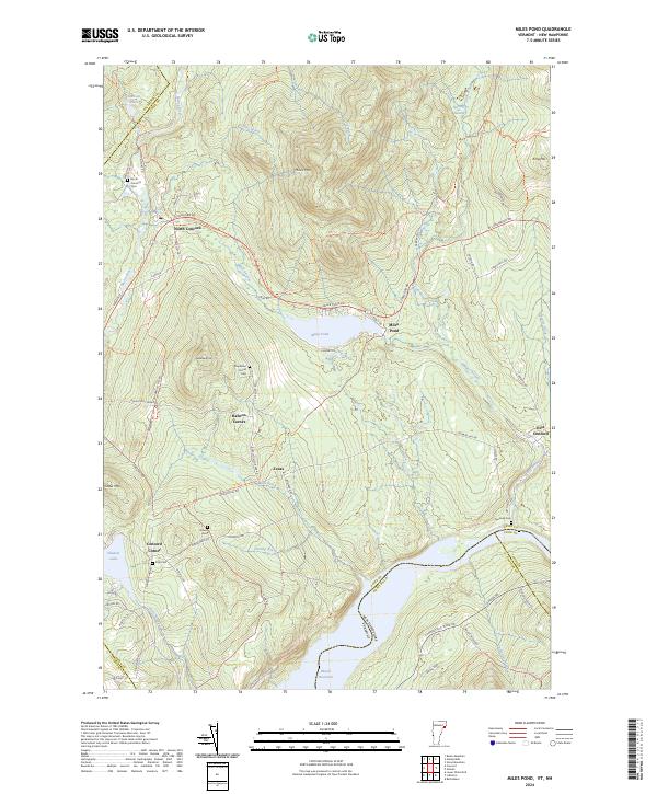
2024 Miles Pond
Essex County, VT
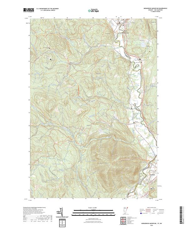
2024 Monadnock Mountain
Essex County, VT
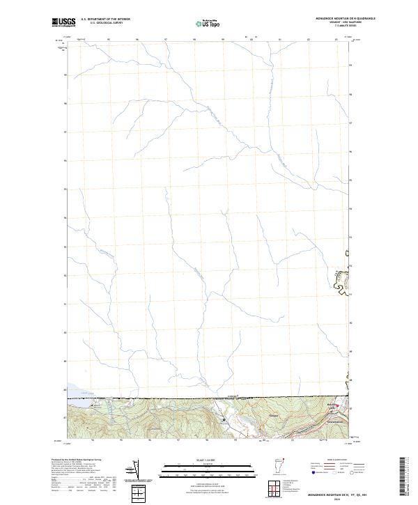
2024 Monadnock Mountain OE N
Essex County, VT
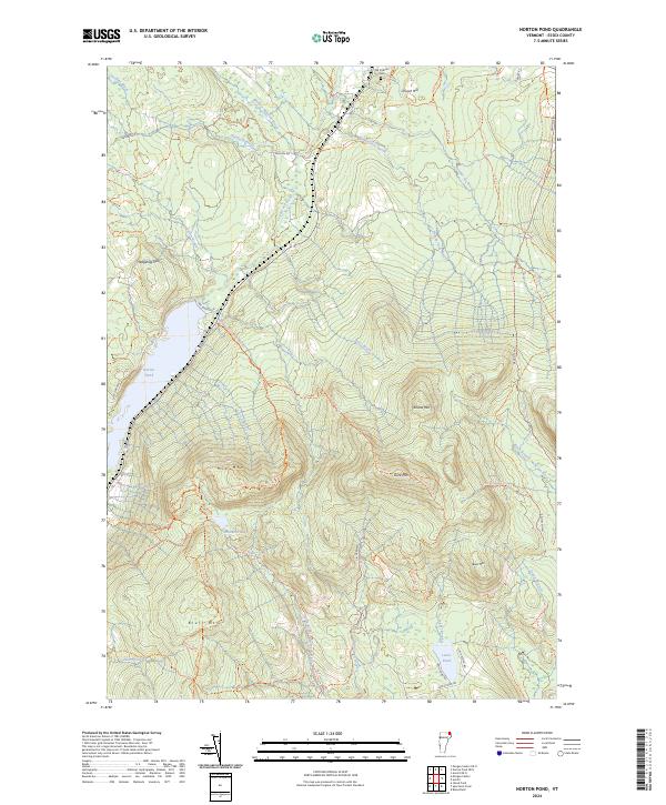
2024 Norton Pond
Essex County, VT
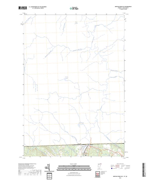
2024 Norton Pond OE N
Essex County, VT
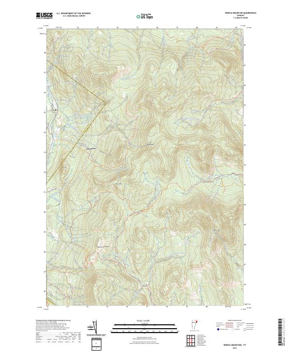
2024 Seneca Mountain
Essex County, VT
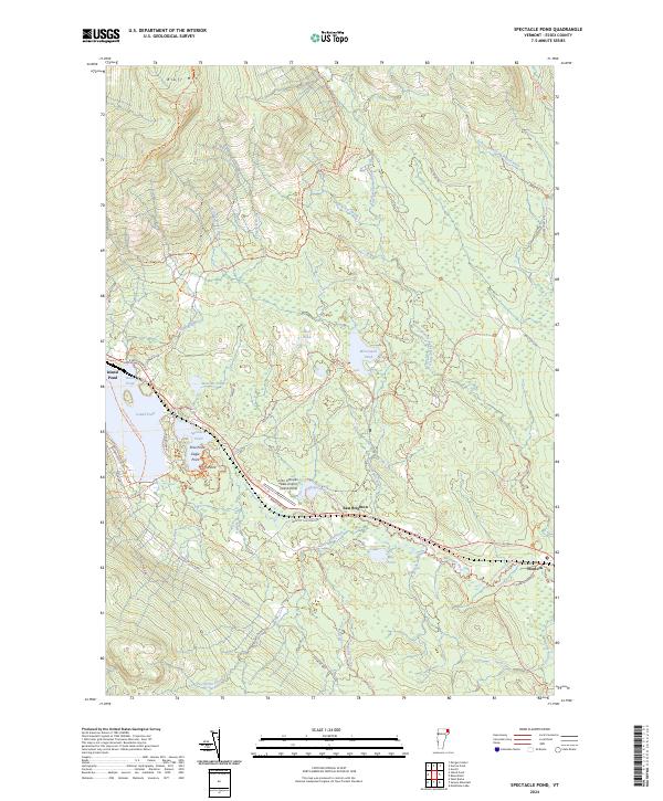
2024 Spectacle Pond
Essex County, VT
2024 Stone Mountain
Essex County, VT