
1974 Map of Bloomfield
USGS Topo · Published 1978About this map
Bloomfield serves as the primary hub of this Knox County landscape, shown here in the mid-1970s with its grid of residential streets and civic infrastructure clearly defined. The town's social and recreational life is anchored by the eastern Fairground and a southern Golf Course, while the Bloomfield Municipal Airport and its accompanying Beacon sit to the southwest along the winding course of Little Bazile Creek.
Find a feature on this map
14 named features on this map. Tap any name to fly to it.
Don’t see what you’re looking for? This feature index may not catch every label — zoom into the map to look around manually.
Map Details
Editions of this 1974 Bloomfield Map
This is the sole edition of this map. No revisions or reprints were ever made.
Other maps of this area

1955 · Sioux City
USGS Topo · 1:250,000

1958 · Sioux City
USGS Topo · 1:250,000

1959 · Sioux City
USGS Topo · 1:250,000

1968 · Bloomfield NE
USGS Topo · 1:24,000

1968 · Bloomfield SE
USGS Topo · 1:24,000

1971 · Wausa
USGS Topo · 1:24,000

1974 · Lindy
USGS Topo · 1:24,000

1974 · Midland
USGS Topo · 1:24,000
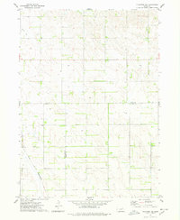
1974 · Plainview NE
USGS Topo · 1:24,000
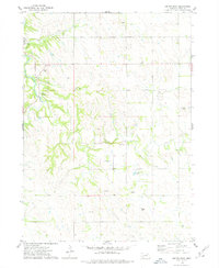
1974 · Center East
USGS Topo · 1:24,000