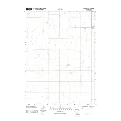
2011 Map of Bloomfield NE
USGS Topo · Published 2011About this map
The town of Crofton serves as the primary hub in this Knox County landscape, where the grid of rural section roads meets the natural drainage of the northern Nebraska plains. This survey documents the intersection of settlement and geography at the turn of the decade, anchored by family and community heritage sites such as Saint Rose Cemetery and Swede Cemetery. The terrain is defined by the winding paths of Beaver Creek in the north and the upper reaches of West Bow Creek to the south. These waterways, along with the smaller Weigand Creek, dictate the movement of the land around a meticulously organized road system, ranging from 891 Rd down to 883 Rd. The map provides a clear record of property access and small-town structure, showing how the community of Crofton is situated relative to the surrounding agricultural prairie.
Find a feature on this map
15 named features on this map. Tap any name to fly to it.
Don’t see what you’re looking for? This feature index may not catch every label — zoom into the map to look around manually.
Map Details
Editions of this 2011 Bloomfield NE Map
This is the sole edition of this map. No revisions or reprints were ever made.
Other maps of this area

1955 · Sioux City
USGS Topo · 1:250,000

1958 · Sioux City
USGS Topo · 1:250,000

1959 · Sioux City
USGS Topo · 1:250,000

1968 · Tabor SE
USGS Topo · 1:24,000

1968 · Bloomfield NE
USGS Topo · 1:24,000

1968 · Hartington SW
USGS Topo · 1:24,000

1968 · Gavins Point Dam
USGS Topo · 1:24,000

1968 · Bloomfield SE
USGS Topo · 1:24,000

1968 · Crofton
USGS Topo · 1:24,000

1974 · Lindy
USGS Topo · 1:24,000