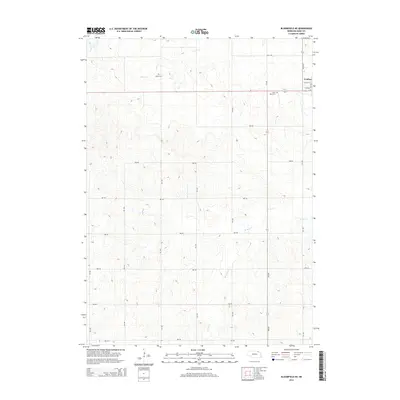
2014 Map of Bloomfield NE
USGS Topo · Published 2014About this map
Crofton sits at the northeastern corner of this Knox County landscape, where the residential grid meets the expansive agricultural plateaus of northern Nebraska. The terrain is defined by a series of drainages, including the headwaters of Beaver Cr and W Bow Cr, which carve through the loess hills. These watercourses have historically dictated the placement of rural landmarks and transportation routes, such as the section-line roads that crisscross the county today. For those researching local heritage, the map identifies Swede Cem and Saint Rose Cem, which serve as quiet markers of the different immigrant communities that settled this prairie region. The layout of the section-line road network, including routes like 885 RD and 891st RD, illustrates the systematic development of the Great Plains long after the initial homesteading era.
Find a feature on this map
17 named features on this map. Tap any name to fly to it.
Don’t see what you’re looking for? This feature index may not catch every label — zoom into the map to look around manually.
Map Details
Editions of this 2014 Bloomfield NE Map
This is the sole edition of this map. No revisions or reprints were ever made.
Other maps of this area

1955 · Sioux City
USGS Topo · 1:250,000

1958 · Sioux City
USGS Topo · 1:250,000

1959 · Sioux City
USGS Topo · 1:250,000

1968 · Tabor SE
USGS Topo · 1:24,000

1968 · Bloomfield NE
USGS Topo · 1:24,000

1968 · Hartington SW
USGS Topo · 1:24,000

1968 · Gavins Point Dam
USGS Topo · 1:24,000

1968 · Bloomfield SE
USGS Topo · 1:24,000

1968 · Crofton
USGS Topo · 1:24,000

1974 · Lindy
USGS Topo · 1:24,000