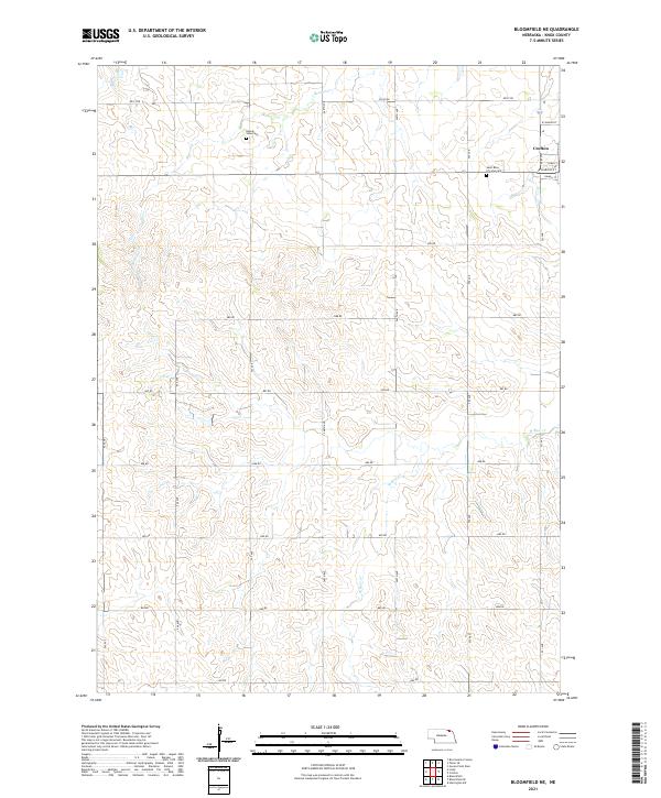
2021 Map of Bloomfield NE
USGS Topo · Published 2021About this map
Crofton serves as the primary hub in this corner of Northeast Nebraska, where the street grid of W Sharon St, Iowa St, and Omaha St marks the town's extent. The surrounding landscape in Knox County is defined by a dense network of sectional roads and the winding paths of Beaver Cr in the north and W Bow Cr to the south. Genealogists will find notable sites including Saint Rose of Lima Cem near the town center and the more remote Beaver View Cem situated among the fields to the west. This 2021 survey illustrates a well-established agricultural pattern, with the terrain partitioned by numbered avenues and roads like 888 Rd and 550 Ave, typical of the enduring Great Plains land management system.
Find a feature on this map
30 named features on this map. Tap any name to fly to it.
Don’t see what you’re looking for? This feature index may not catch every label — zoom into the map to look around manually.
Map Details
Editions of this 2021 Bloomfield NE Map
This is the sole edition of this map. No revisions or reprints were ever made.
Other maps of this area

1955 · Sioux City
USGS Topo · 1:250,000

1958 · Sioux City
USGS Topo · 1:250,000

1959 · Sioux City
USGS Topo · 1:250,000

1968 · Tabor SE
USGS Topo · 1:24,000

1968 · Bloomfield NE
USGS Topo · 1:24,000

1968 · Hartington SW
USGS Topo · 1:24,000

1968 · Gavins Point Dam
USGS Topo · 1:24,000

1968 · Bloomfield SE
USGS Topo · 1:24,000

1968 · Crofton
USGS Topo · 1:24,000

1974 · Lindy
USGS Topo · 1:24,000