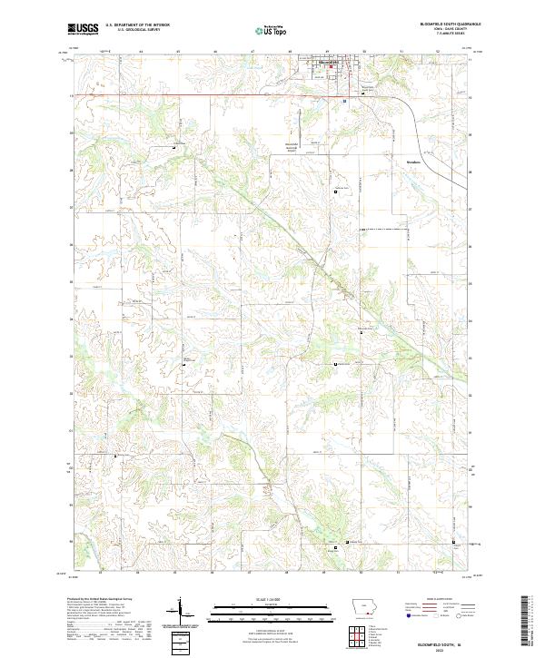
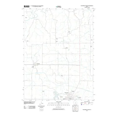
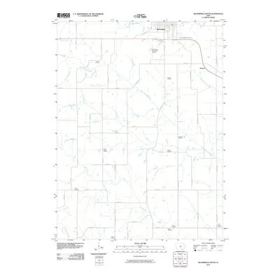
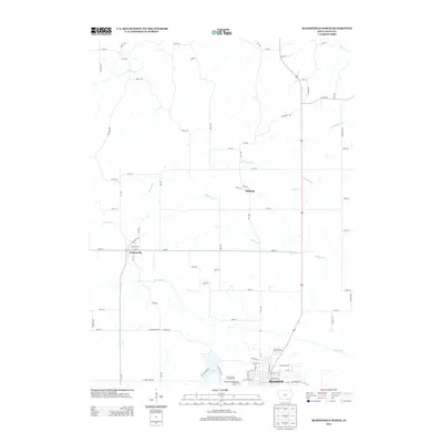
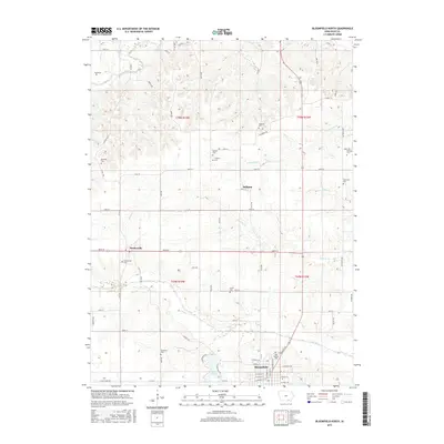
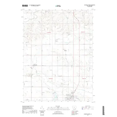
2022 Map of Bloomfield South
USGS Topo · Published 2022About this map
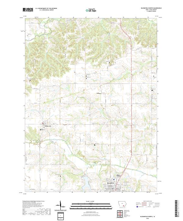
The town of Bloomfield serves as the focal point for this Davis County survey, which documents the rural landscape immediately south of the community. In this modern era, the southern expansion of the town is marked by the Bloomfield Municipal Airport and the waters of Lake Fisher, while the surrounding terrain remains predominantly agricultural. The area is heavily defined by the meandering courses of the S Wyaconda River and the N Fork N Fabius River, which cut through the township grids of Steuben and neighboring territories.
Find a feature on this map
69 named features on this map. Tap any name to fly to it.
Don’t see what you’re looking for? This feature index may not catch every label — zoom into the map to look around manually.
Map Details
Editions of this 2022 Bloomfield South Map
This is the sole edition of this map. No revisions or reprints were ever made.
Historical Maps of Bloomfield Through Time
31 maps found
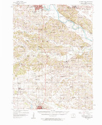
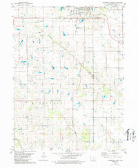
1956 Ottumwa South
Davis County, IA
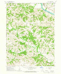
1965 Selma
Davis County, IA
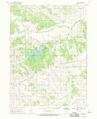
1968 Paris
Davis County, IA
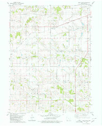
1979 Bloomfield South
Davis County, IA
1979 West Grove
Davis County, IA
1980 Bloomfield North
Davis County, IA
2010 Bloomfield North
Davis County, IA
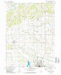
2010 Bloomfield South
Davis County, IA
2010 Paris
Davis County, IA
2010 Selma
Davis County, IA
2010 West Grove
Davis County, IA
2013 Bloomfield North
Davis County, IA
2013 Bloomfield South
Davis County, IA
2013 Paris
Davis County, IA
2013 Selma
Davis County, IA
2013 West Grove
Davis County, IA
2015 Bloomfield North
Davis County, IA
2015 Bloomfield South
Davis County, IA
2015 Paris
Davis County, IA
2015 Selma
Davis County, IA
2015 West Grove
Davis County, IA
2018 Bloomfield North
Davis County, IA
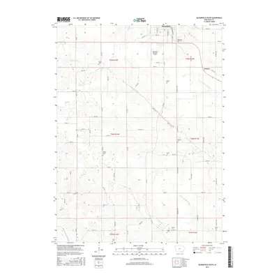
2018 Bloomfield South
Davis County, IA
2018 Paris
Davis County, IA
2018 Selma
Davis County, IA
2018 West Grove
Davis County, IA
2022 Bloomfield North
Davis County, IA
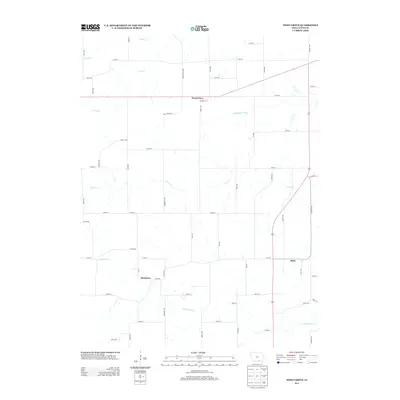
2022 Bloomfield South
Davis County, IA
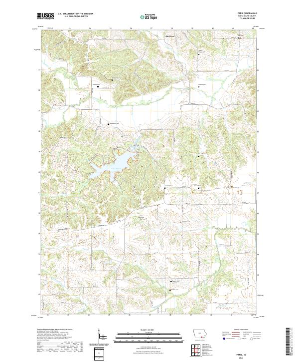
2022 Paris
Davis County, IA
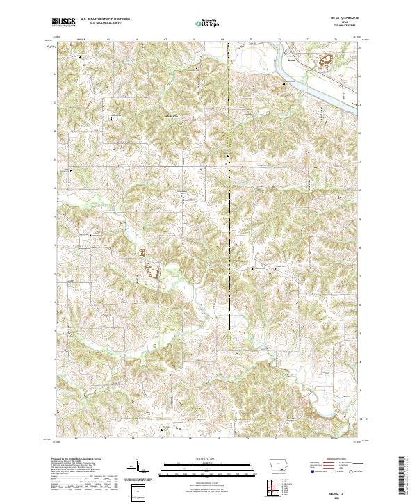
2022 Selma
Davis County, IA
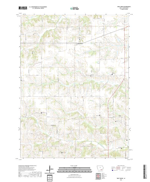
2022 West Grove
Davis County, IA