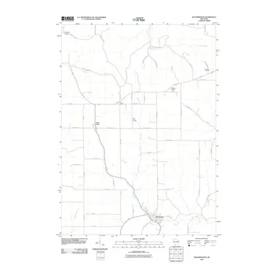
2010 Map of Bloomington
USGS Topo · Published 2010About this map
Bloomington serves as the primary hub of this Grant County landscape, situated where the waters of Blake Fork meet several local thoroughfares. The region's geography is defined by prominent elevations such as Military Ridge and Campbell Ridge, which dictate the winding paths of rural routes like Military Ridge Rd and Campbell Ridge Rd. To the northwest, the village of Patch Grove anchors another cluster of settlement, surrounded by fertile lands drained by Sandy Creek and Lane Creek.
Find a feature on this map
54 named features on this map. Tap any name to fly to it.
Don’t see what you’re looking for? This feature index may not catch every label — zoom into the map to look around manually.
Map Details
Editions of this 2010 Bloomington Map
This is the sole edition of this map. No revisions or reprints were ever made.
Other maps of this area

1900 · Lancaster
USGS Topo · 1:125,000

1902 · Elkader
USGS Topo · 1:125,000

1903 · Waukon
USGS Topo · 1:125,000

1904 · Lancaster
USGS Topo · 1:125,000

1908 · Lancaster
USGS Topo · 1:125,000

1926 · Wauzeka
USGS Topo · 1:62,500

1929 · Prairie Du Chien
USGS Topo · 1:62,500

1932 · Prairie Du Chien
USGS Topo · 1:62,500

1958 · La Crosse
USGS Topo · 1:250,000

1959 · Dubuque
USGS Topo · 1:250,000