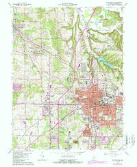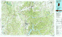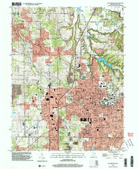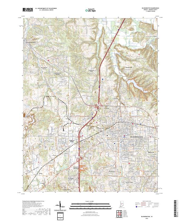
2022 Map of Bloomington
USGS Topo · Published 2022About this map
The city of Bloomington serves as the focal point for this 2022 survey, showcasing the dense educational and civic infrastructure of the county seat. The extensive campus of Indiana University Bloomington and the Charlotte Zietlow Justice Center highlight the urban core, while a sophisticated network of multi-use paths like the B-Line Trl and Karst Farm Greenway Trl define the modern transit landscape. To the northwest, Ellettsville stands as a significant secondary hub, connected to the city by a corridor of growing residential developments such as Lancaster Park and West Brook Downs. The surrounding terrain is defined by the winding course of Beanblossom Creek and the southern flow of Clear Creek, with the Monroe County Airport anchoring the western edge of the quadrangle. Local history is preserved in the grounds of Rose Hill Cem and Valhalla Memorial Gardens, providing a record of the community's heritage amidst ongoing expansion.
Find a feature on this map
287 named features on this map. Tap any name to fly to it.
Don’t see what you’re looking for? This feature index may not catch every label — zoom into the map to look around manually.
Map Details
Editions of this 2022 Bloomington Map
This is the sole edition of this map. No revisions or reprints were ever made.
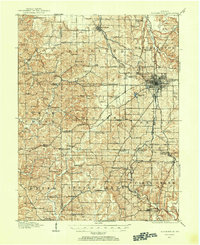
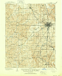
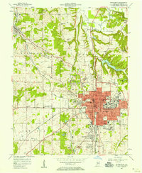
Historical Maps of Arlington Through Time
7 maps found