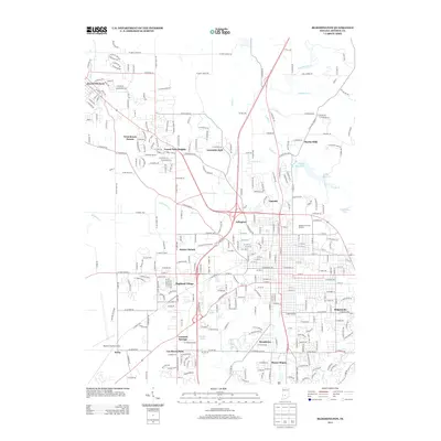
1910 Map of Bloomington
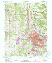
USGS Topo · Published 1950About this map
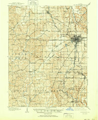
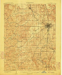
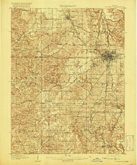
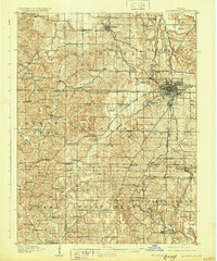
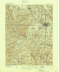
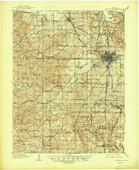
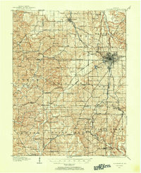
Bloomington serves as the focal point for this survey conducted during the first decade of the 1900s, showing a landscape defined by the intersection of education and industry. The grounds of Indiana University appear on the city's eastern edge, while the surrounding townships are crisscrossed by three major railroads including the Monon Route. The map illustrates the region's early economic reliance on limestone, particularly in the vicinity of Perry and Clear Creek townships where features like the Diamond Quarry Switch and Acme Switch hint at the active stone-cutting operations of the era.
Find a feature on this map
111 named features on this map. Tap any name to fly to it.
Don’t see what you’re looking for? This feature index may not catch every label — zoom into the map to look around manually.
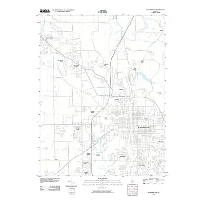
Map Details
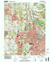
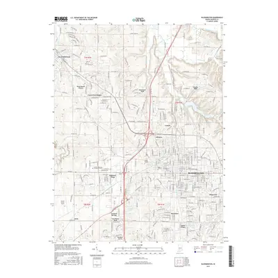
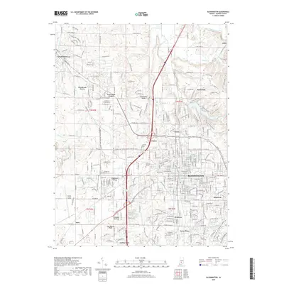
Editions of this 1910 Bloomington Map
6 editions found
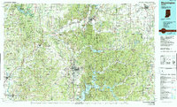
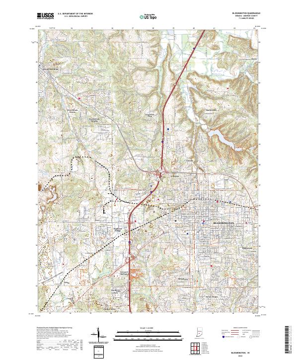
Historical Maps of Bloomington Through Time
11 maps found
1908 Bloomington
Monroe County, IN
1910 Bloomington
Monroe County, IN
1956 Bloomington
Monroe County, IN
1966 Bloomington
Monroe County, IN
1986 Bloomington
Monroe County, IN
1998 Bloomington
Monroe County, IN
2010 Bloomington
Monroe County, IN
2013 Bloomington
Monroe County, IN
2016 Bloomington
Monroe County, IN
2019 Bloomington
Monroe County, IN
2022 Bloomington
Monroe County, IN