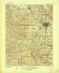
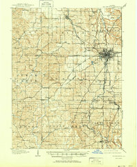
1910 Map of Bloomington
USGS Topo · Published 1948About this map
Indiana University serves as a central landmark in this early 20th-century survey of Monroe and Greene counties. The street grid of Bloomington expands westward, while the surrounding townships are defined by a dense network of local landmarks, including the County Farm and dozens of rural educational centers such as Reeves School and Dillman School. The industrial and agricultural landscape is shaped by the Monon Route and the Indianapolis Southern RR, which supported local hubs like Ellettsville and the Diamond Quarry. Smaller settlements and stations, including Stanford Sta and Sanders PO, suggest a well-distributed population reliant on rail transport. The topography is intricately detailed, showing the varied drainage patterns of Bean Blossom Creek and Richland Creek, which influenced the placement of early turnpikes like the Ellettsville Pike and the Louisville Pike.
Find a feature on this map
104 named features on this map. Tap any name to fly to it.
Don’t see what you’re looking for? This feature index may not catch every label — zoom into the map to look around manually.
Map Details
Editions of this 1910 Bloomington Map
6 editions found
Other maps of this area

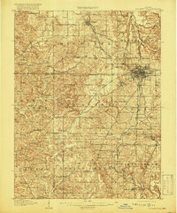
1908 · Bloomington
USGS Topo · 1:48,000

1908 · Bloomfield
USGS Topo · 1:62,500

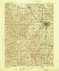
1910 · Bloomington
USGS Topo · 1:62,500

1934 · Bedford
USGS Topo · 1:48,000

1935 · Oolitic
USGS Topo · 1:48,000

1937 · Bedford
USGS Topo · 1:62,500

1942 · Franklin
USGS Topo · 1:125,000

1942 · Oolitic
USGS Topo · 1:62,500

1947 · Allens Creek
USGS Topo · 1:24,000

1947 · Unionville
USGS Topo · 1:24,000