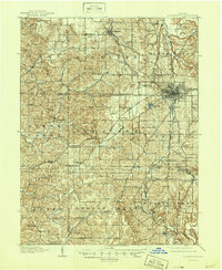
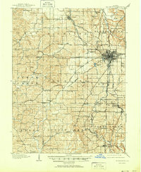
1910 Map of Bloomington
USGS Topo · Published 1946About this map
Bloomington serves as the focal point of this regional study, which captures the area just after the first decade of the twentieth century. The map illustrates a landscape transitioning from agrarian roots to more specialized industry, particularly near the Limestone and Sanders PO areas, where the rail-based economy was taking firm hold. This period shows the dominance of the Monon RR and the Indianapolis and Vincennes RR, which facilitated the movement of people and materials between the town and outlying communities like Ellettsville.
Find a feature on this map
89 named features on this map. Tap any name to fly to it.
Don’t see what you’re looking for? This feature index may not catch every label — zoom into the map to look around manually.
Map Details
Editions of this 1910 Bloomington Map
6 editions found
Other maps of this area

1908 · Bloomington
USGS Topo · 1:48,000

1908 · Bloomfield
USGS Topo · 1:62,500

1910 · Bloomington
USGS Topo · 1:62,500

1934 · Bedford
USGS Topo · 1:48,000

1935 · Oolitic
USGS Topo · 1:48,000

1937 · Bedford
USGS Topo · 1:62,500

1942 · Franklin
USGS Topo · 1:125,000

1942 · Oolitic
USGS Topo · 1:62,500

1947 · Allens Creek
USGS Topo · 1:24,000

1947 · Unionville
USGS Topo · 1:24,000