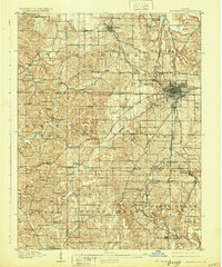
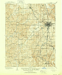
1910 Map of Bloomington
USGS Topo · Published 1931About this map
Bloomington serves as the focal point of this Southern Indiana landscape, centered on the growing campus of Indiana University. The surrounding Monroe County countryside is defined by an intricate network of early turnpikes, including the Indianapolis and Vincennes Road and several distinct pikes leading toward Spencer, Bloomfield, and Bedford. These routes connect a dense array of rural institutions, from the County Farm to dozens of neighborhood schoolhouses like Whisnand School and Rice School.
Find a feature on this map
117 named features on this map. Tap any name to fly to it.
Don’t see what you’re looking for? This feature index may not catch every label — zoom into the map to look around manually.
Map Details
Editions of this 1910 Bloomington Map
6 editions found
Other maps of this area

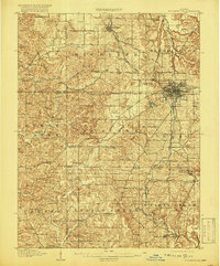
1908 · Bloomington
USGS Topo · 1:48,000

1908 · Bloomfield
USGS Topo · 1:62,500

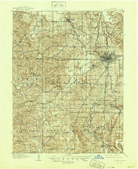
1910 · Bloomington
USGS Topo · 1:62,500

1934 · Bedford
USGS Topo · 1:48,000

1935 · Oolitic
USGS Topo · 1:48,000

1937 · Bedford
USGS Topo · 1:62,500

1942 · Franklin
USGS Topo · 1:125,000

1942 · Oolitic
USGS Topo · 1:62,500

1947 · Allens Creek
USGS Topo · 1:24,000

1947 · Unionville
USGS Topo · 1:24,000