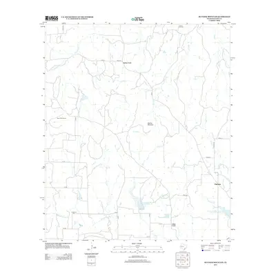
2013 Map of Blucher Mountain
USGS Topo · Published 2013About this map
Blucher Mountain stands as a central topographic landmark in this rural stretch of San Saba County. The 2013 survey depicts a landscape defined by its network of seasonal creeks and drainage basins, notably the Richland Springs Cr and the Lower San Saba Watershed Reservoir Number 16. The area's settlement history is preserved through the locations of the Old Algerita Cem, Neal Cem, and Spring Creek Cem, which serve as vital markers for genealogical research. Small communities like Fairview and Spring Creek are connected by a web of local routes such as FM 500 and Catclaw Rd. The inclusion of Yates Field Airport and various watershed reservoirs reflects the intersection of agricultural land management and local infrastructure in this part of Central Texas.
Find a feature on this map
40 named features on this map. Tap any name to fly to it.
Don’t see what you’re looking for? This feature index may not catch every label — zoom into the map to look around manually.
Map Details
Editions of this 2013 Blucher Mountain Map
This is the sole edition of this map. No revisions or reprints were ever made.
Other maps of this area

1885 · San Saba
USGS Topo · 1:125,000

1894 · San Saba
USGS Topo · 1:125,000

1925 · San Saba 2-a
USGS Topo · 1:48,000

1925 · San Saba 1-c
USGS Topo · 1:48,000

1925 · San Saba 1-b
USGS Topo · 1:48,000

1925 · San Saba 2-b
USGS Topo · 1:48,000

1928 · Goldthwaite
USGS Topo · 1:62,500

1930 · Richland Springs
USGS Topo · 1:62,500

1931 · Bend
USGS Topo · 1:62,500

1948 · Richland Springs
USGS Topo · 1:62,500