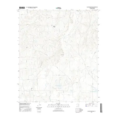
2016 Map of Blucher Mountain
USGS Topo · Published 2016About this map
Spring Creek sits within a landscape defined by the drainage basins of the San Saba River valley, where intermittent watercourses and small ranching holdings shape the local geography. This high-resolution survey captures the rural character of the Texas Hill Country, documenting the network of county roads and the watershed management structures like the Lower San Saba Watershed Reservoir Number 16. The terrain is marked by distinct landmarks such as Blucher Mountain and Childress Lake, which anchor the local topography for land managers and genealogists tracking family property lines in this part of San Saba County.
Find a feature on this map
1 named feature on this map. Tap any name to fly to it.
Don’t see what you’re looking for? This feature index may not catch every label — zoom into the map to look around manually.
Map Details
Editions of this 2016 Blucher Mountain Map
This is the sole edition of this map. No revisions or reprints were ever made.
Other maps of this area

1885 · San Saba
USGS Topo · 1:125,000

1894 · San Saba
USGS Topo · 1:125,000

1925 · San Saba 2-a
USGS Topo · 1:48,000

1925 · San Saba 1-c
USGS Topo · 1:48,000

1925 · San Saba 1-b
USGS Topo · 1:48,000

1925 · San Saba 2-b
USGS Topo · 1:48,000

1928 · Goldthwaite
USGS Topo · 1:62,500

1930 · Richland Springs
USGS Topo · 1:62,500

1931 · Bend
USGS Topo · 1:62,500

1948 · Richland Springs
USGS Topo · 1:62,500