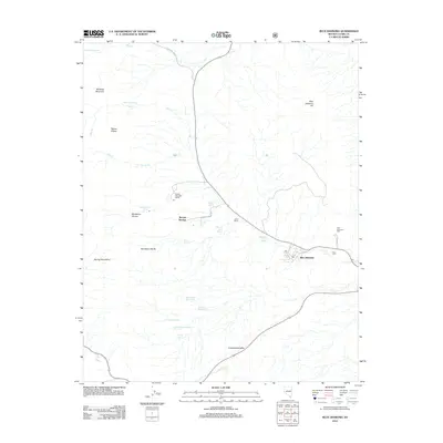
2012 Map of Blue Diamond
USGS Topo · Published 2012About this map
Blue Diamond sits at the eastern edge of the Spring Mountains, serving as a central point in a landscape defined by desert springs and ranching history. The settlement pattern follows a network of water sources, from the historical Spring Mountain Ranch and Bonnie Springs in the west to the Blue Diamond Mill near Blue Diamond Hill. These ranches and springs, such as Mormon Green Springs and Wheeler Camp Spring, indicate the vital importance of water management in the Cottonwood Valley.
Find a feature on this map
35 named features on this map. Tap any name to fly to it.
Don’t see what you’re looking for? This feature index may not catch every label — zoom into the map to look around manually.
Map Details
Editions of this 2012 Blue Diamond Map
This is the sole edition of this map. No revisions or reprints were ever made.
Other maps of this area

1907 · Las Vegas
USGS Topo · 1:250,000

1908 · Las Vegas
USGS Topo · 1:250,000

1910 · Ivanpah
USGS Topo · 1:250,000

1912 · Ivanpah
USGS Topo · 1:250,000

1942 · Ivanpah
USGS Topo · 1:250,000

1947 · Kingman
USGS Topo · 1:250,000

1948 · Kingman
USGS Topo · 1:250,000

1952 · Blue Diamond
USGS Topo · 1:62,500

1954 · Las Vegas
USGS Topo · 1:250,000

1954 · Kingman
USGS Topo · 1:250,000