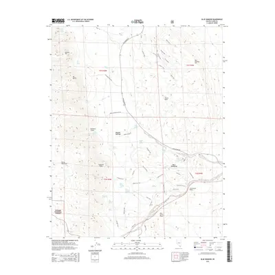
2015 Map of Blue Diamond
USGS Topo · Published 2015About this map
Blue Diamond sits at the heart of this desert landscape, where the Spring Mountains rise sharply against the Cottonwood Valley. The map highlights a critical network of water sources essential for life in the Mojave Desert, ranging from Mormon Green Springs to smaller seeps like Moonshine Spring and Lone Grapevine Spring. This 2015 data reflects a modern reliance on historical geographic markers, showing how ancient routes like the Old Spanish Trail still define movement through the Bird Spring Range.
Find a feature on this map
60 named features on this map. Tap any name to fly to it.
Don’t see what you’re looking for? This feature index may not catch every label — zoom into the map to look around manually.
Map Details
Editions of this 2015 Blue Diamond Map
This is the sole edition of this map. No revisions or reprints were ever made.
Other maps of this area

1907 · Las Vegas
USGS Topo · 1:250,000

1908 · Las Vegas
USGS Topo · 1:250,000

1910 · Ivanpah
USGS Topo · 1:250,000

1912 · Ivanpah
USGS Topo · 1:250,000

1942 · Ivanpah
USGS Topo · 1:250,000

1947 · Kingman
USGS Topo · 1:250,000

1948 · Kingman
USGS Topo · 1:250,000

1952 · Blue Diamond
USGS Topo · 1:62,500

1954 · Las Vegas
USGS Topo · 1:250,000

1954 · Kingman
USGS Topo · 1:250,000