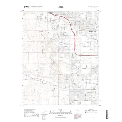
2018 Map of Blue Diamond SE
USGS Topo · Published 2018About this map
Summerlin South and Spring Valley represent the modern expansion of Clark County into the arid basins of the Mojave Desert. This 2018 survey documents a landscape defined by an organized grid of residential development abutting the raw, unpaved terrain of the southwest. To the east, the landscape is densely suburban, featuring the Univ of Phoenix Las Vegas Campus and landmarks like Exploration Peak.
Find a feature on this map
72 named features on this map. Tap any name to fly to it.
Don’t see what you’re looking for? This feature index may not catch every label — zoom into the map to look around manually.
Map Details
Editions of this 2018 Blue Diamond SE Map
This is the sole edition of this map. No revisions or reprints were ever made.
Other maps of this area

1907 · Las Vegas
USGS Topo · 1:250,000

1908 · Las Vegas
USGS Topo · 1:250,000

1910 · Ivanpah
USGS Topo · 1:250,000

1912 · Ivanpah
USGS Topo · 1:250,000

1942 · Ivanpah
USGS Topo · 1:250,000

1947 · Kingman
USGS Topo · 1:250,000

1948 · Kingman
USGS Topo · 1:250,000

1952 · Blue Diamond
USGS Topo · 1:62,500

1952 · Las Vegas
USGS Topo · 1:62,500

1954 · Las Vegas
USGS Topo · 1:250,000