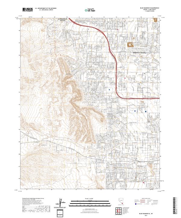
2021 Map of Blue Diamond SE
USGS Topo · Published 2021About this map
Summerlin South and Spring Valley represent the modern residential expansion into the eastern reaches of the Mojave Desert in Clark County. This 2021 study illustrates a landscape transitioning from the arid basin to a densely gridded suburban environment, with major thoroughfares like Blue Diamond Rd and W Flamingo Rd serving as the primary arteries for development. Educational hubs are a defining characteristic of the northern sector, featuring the University of Phoenix-Las Vegas, Roseman University of Health Sciences-Summerlin Campus, and Nova Southeastern University.
Find a feature on this map
55 named features on this map. Tap any name to fly to it.
Don’t see what you’re looking for? This feature index may not catch every label — zoom into the map to look around manually.
Map Details
Editions of this 2021 Blue Diamond SE Map
This is the sole edition of this map. No revisions or reprints were ever made.
Other maps of this area

1907 · Las Vegas
USGS Topo · 1:250,000

1908 · Las Vegas
USGS Topo · 1:250,000

1910 · Ivanpah
USGS Topo · 1:250,000

1912 · Ivanpah
USGS Topo · 1:250,000

1942 · Ivanpah
USGS Topo · 1:250,000

1947 · Kingman
USGS Topo · 1:250,000

1948 · Kingman
USGS Topo · 1:250,000

1952 · Blue Diamond
USGS Topo · 1:62,500

1952 · Las Vegas
USGS Topo · 1:62,500

1954 · Las Vegas
USGS Topo · 1:250,000