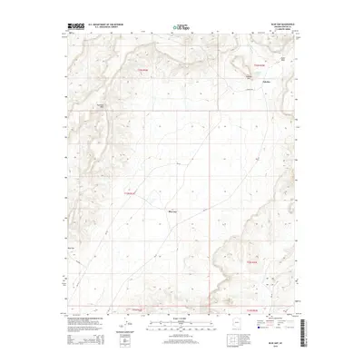
2014 Map of Blue Gap
USGS Topo · Published 2014About this map
Blue Gap and Tahchee anchor this desert landscape within the Chinle Agency, where the drainage systems of Tah-Chee Wash and Polacca Wash define the local topography. The map documents a sparse but critical infrastructure network, including Bia-29 and CO Road C517, which provide access through the complex terrain of the Navajo Nation.
Find a feature on this map
19 named features on this map. Tap any name to fly to it.
Don’t see what you’re looking for? This feature index may not catch every label — zoom into the map to look around manually.
Map Details
Editions of this 2014 Blue Gap Map
This is the sole edition of this map. No revisions or reprints were ever made.
Other maps of this area

1883 · Marsh Pass
USGS Topo · 1:250,000

1892 · Marsh Pass
USGS Topo · 1:250,000

1892 · Canyon De Chelly
USGS Topo · 1:250,000

1954 · Shiprock
USGS Topo · 1:250,000

1956 · Marble Canyon
USGS Topo · 1:250,000

1958 · Shiprock
USGS Topo · 1:250,000

1959 · Shiprock
USGS Topo · 1:250,000

1959 · Marble Canyon
USGS Topo · 1:250,000

1961 · Marble Canyon
USGS Topo · 1:250,000
1967 · Whippoorwill Spring
USGS Topo · 1:24,000
Featured Places
- Chinle Agency, AZ
- Blue Gap, Chinle Agency
- Tahchee, Chinle Agency
- Tókʼi Hazbįʼí, Chinle Agency
- Apache County, AZ