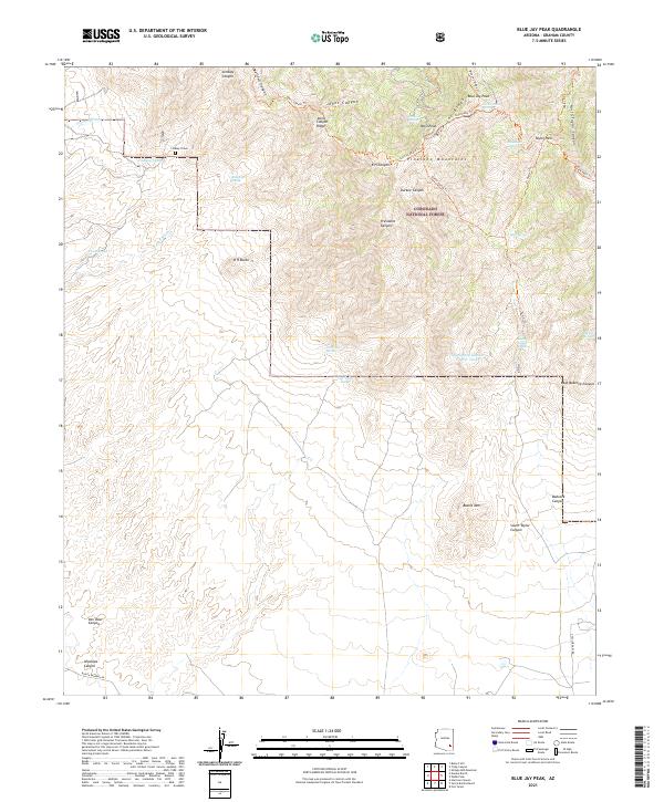
2021 Map of Blue Jay Peak
USGS Topo · Published 2021About this map
Coronado National Forest dominates this high-altitude landscape in the Pinaleno Mountains, where the terrain climbs sharply toward Blue Jay Peak and West Peak. This corner of Graham County is defined by a network of steep drainages including Johns Canyon, President Canyon, and Babcock Canyon. The map reveals a land management history centered on water access and trail connectivity, with numerous named springs such as Colter Spring and Mineshaft Spring supporting the high country.
Find a feature on this map
49 named features on this map. Tap any name to fly to it.
Don’t see what you’re looking for? This feature index may not catch every label — zoom into the map to look around manually.
Map Details
Editions of this 2021 Blue Jay Peak Map
This is the sole edition of this map. No revisions or reprints were ever made.
Other maps of this area

1940 · Sierra Bonita Ranch
USGS Topo · 1:62,500

1942 · Sierra Bonita Ranch
USGS Topo · 1:62,500

1942 · Mt. Graham
USGS Topo · 1:62,500

1943 · Sierra Bonita Ranch
USGS Topo · 1:62,500

1944 · Jackson Mtn.
USGS Topo · 1:62,500

1945 · Mt. Graham
USGS Topo · 1:62,500

1946 · Jackson Mtn.
USGS Topo · 1:62,500

1954 · Silver City
USGS Topo · 1:250,000

1956 · Tucson
USGS Topo · 1:250,000

1958 · Silver City
USGS Topo · 1:250,000