
1944 Map of Jackson Mtn.
USGS Topo · Published 1944About this map
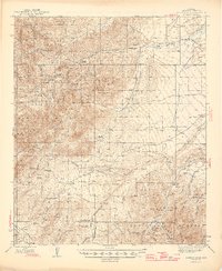
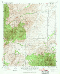
The Teresa Mountains dominate this 1944 landscape, where the rugged topography of the Crook National Forest meets the lower reaches of the Aravaipa Valley. This survey captures a specific era of high-desert ranching and resource exploration, characterized by a network of family holdings such as Hinton Ranch, Holladay Ranch, and Pace Ranch scattered throughout the canyons. The presence of numerous Prospect and Prospects sites, alongside remote water sources like Mesquite Well and Cedar Springs, illustrates a landscape where survival and commerce depended on a deep knowledge of the terrain's sparse springs. High points like Jackson Mtn and Cobre Grande Peak serve as significant landmarks for navigating the complex drainages of Goodwin Wash and Tripp Canyon.
Find a feature on this map
71 named features on this map. Tap any name to fly to it.
Don’t see what you’re looking for? This feature index may not catch every label — zoom into the map to look around manually.
Map Details
Editions of this 1944 Jackson Mtn. Map
3 editions found
Other maps of this area

1938 · Galiuro Mts
USGS Topo · 1:48,000

1938 · Klondyke
USGS Topo · 1:48,000

1940 · Sierra Bonita Ranch
USGS Topo · 1:62,500

1942 · Sierra Bonita Ranch
USGS Topo · 1:62,500

1942 · Mt. Graham
USGS Topo · 1:62,500

1943 · Galiuro Mts
USGS Topo · 1:62,500

1943 · Klondyke
USGS Topo · 1:62,500

1943 · Sierra Bonita Ranch
USGS Topo · 1:62,500

1945 · Mt. Graham
USGS Topo · 1:62,500

1946 · Jackson Mtn.
USGS Topo · 1:62,500