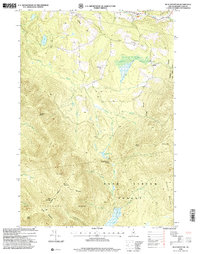
1996 Map of Blue Mountain
USGS Topo · Published 2000About this map
Nash Stream Forest and the rugged northern reaches of Columbia dominate this terrain, where the headwaters of the Mohawk River and Nash Stream carve through the high country of Coos County. The landscape is defined by its prominent peaks and notches, including Blue Mountain, Gore Mountain, and the dramatic Cleveland Notch. Unlike the lower valleys, this area remains largely undeveloped, characterized by vast timberlands and high-elevation watersheds.
Find a feature on this map
42 named features on this map. Tap any name to fly to it.
Don’t see what you’re looking for? This feature index may not catch every label — zoom into the map to look around manually.
Map Details
Editions of this 1996 Blue Mountain Map
This is the sole edition of this map. No revisions or reprints were ever made.
Other maps of this area

1920 · Guildhall
USGS Topo · 1:62,500

1929 · Averill
USGS Topo · 1:62,500

1930 · Percy
USGS Topo · 1:62,500

1930 · Dixville
USGS Topo · 1:62,500

1931 · Guildhall
USGS Topo · 1:48,000

1933 · Guildhall
USGS Topo · 1:48,000

1933 · Dixville
USGS Topo · 1:62,500

1934 · Percy
USGS Topo · 1:62,500

1934 · Dixville
USGS Topo · 1:62,500

1937 · Guildhall
USGS Topo · 1:62,500