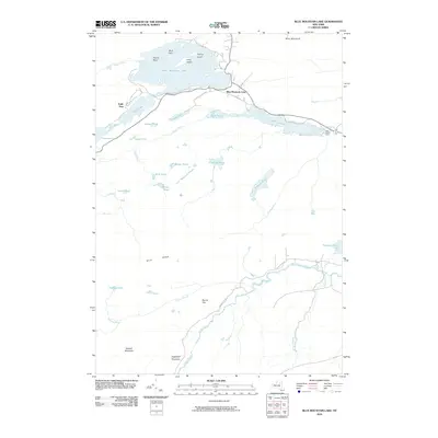
2010 Map of Blue Mountain Lake
USGS Topo · Published 2010About this map
Blue Mountain Lake and its surrounding Adirondack highlands are the focus of this 2010 survey, showing the complex network of lakes and ponds that define the Hamilton County landscape. The settlement of Blue Mountain Lake serves as a hub at the intersection of local routes, with Thomas A Edison Rd and Durant Rd tracing the southern shoreline. To the east, the Lake Durant Camp sits along the shores of Lake Durant, while the rugged southern terrain is dominated by summits like Sugarloaf Mountain and Metcalf Mountain. The intricate drainage system is visible through features like the Cedar River and Rock River, which connect remote water bodies such as Stephens Pond and the Mitchell Ponds. This map documents a region where wilderness conservation and early 20th-century estate history, represented by Eagle Nest, meet modern recreational infrastructure.
Find a feature on this map
41 named features on this map. Tap any name to fly to it.
Don’t see what you’re looking for? This feature index may not catch every label — zoom into the map to look around manually.
Map Details
Editions of this 2010 Blue Mountain Lake Map
This is the sole edition of this map. No revisions or reprints were ever made.
Other maps of this area

1899 · Indian Lake
USGS Topo · 1:62,500

1900 · Canada Lake
USGS Topo · 1:62,500

1902 · Indian Lake
USGS Topo · 1:62,500

1903 · West Canada Lakes
USGS Topo · 1:62,500

1903 · Raquette Lake
USGS Topo · 1:62,500

1903 · Blue Mountain
USGS Topo · 1:62,500

1950 · Utica
USGS Topo · 1:250,000

1954 · Blue Mountain
USGS Topo · 1:62,500

1954 · Indian Lake
USGS Topo · 1:62,500

1954 · West Canada Lakes
USGS Topo · 1:62,500