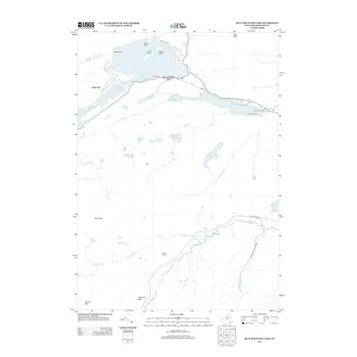
2013 Map of Blue Mountain Lake
USGS Topo · Published 2013About this map
Blue Mountain Lake serves as the central focal point of this Adirondack landscape, where the settlement of the same name sits at the intersection of Hedges Rd and Co Hwy 19. The map highlights a dense network of high-elevation water bodies and peaks, including Blue Mtn and Eagle Lake. To the south, the terrain becomes increasingly complex with the Mitchell Ponds and the winding course of the Rock River, which flows toward the Lake Durant Camp.
Find a feature on this map
37 named features on this map. Tap any name to fly to it.
Don’t see what you’re looking for? This feature index may not catch every label — zoom into the map to look around manually.
Map Details
Editions of this 2013 Blue Mountain Lake Map
This is the sole edition of this map. No revisions or reprints were ever made.
Other maps of this area

1899 · Indian Lake
USGS Topo · 1:62,500

1900 · Canada Lake
USGS Topo · 1:62,500

1902 · Indian Lake
USGS Topo · 1:62,500

1903 · West Canada Lakes
USGS Topo · 1:62,500

1903 · Raquette Lake
USGS Topo · 1:62,500

1903 · Blue Mountain
USGS Topo · 1:62,500

1950 · Utica
USGS Topo · 1:250,000

1954 · Blue Mountain
USGS Topo · 1:62,500

1954 · Indian Lake
USGS Topo · 1:62,500

1954 · West Canada Lakes
USGS Topo · 1:62,500