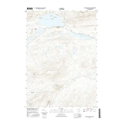
2016 Map of Blue Mountain Lake
USGS Topo · Published 2016About this map
Blue Mountain Lake serves as the central hub of this Adirondack region, where the settlement of the same name meets a complex network of glacial water bodies and prominent summits. The landscape is defined by the high elevation of Blue Mtn and the intricate shoreline of the lake, featuring Osprey Island and Bluff Point. To the west, the community of Eagle Nest sits near the shores of Eagle Lake and Utowana Lake, connected by the flow of the Rock River.
Find a feature on this map
38 named features on this map. Tap any name to fly to it.
Don’t see what you’re looking for? This feature index may not catch every label — zoom into the map to look around manually.
Map Details
Editions of this 2016 Blue Mountain Lake Map
This is the sole edition of this map. No revisions or reprints were ever made.
Other maps of this area

1899 · Indian Lake
USGS Topo · 1:62,500

1900 · Canada Lake
USGS Topo · 1:62,500

1902 · Indian Lake
USGS Topo · 1:62,500

1903 · West Canada Lakes
USGS Topo · 1:62,500

1903 · Raquette Lake
USGS Topo · 1:62,500

1903 · Blue Mountain
USGS Topo · 1:62,500

1950 · Utica
USGS Topo · 1:250,000

1954 · Blue Mountain
USGS Topo · 1:62,500

1954 · Indian Lake
USGS Topo · 1:62,500

1954 · West Canada Lakes
USGS Topo · 1:62,500