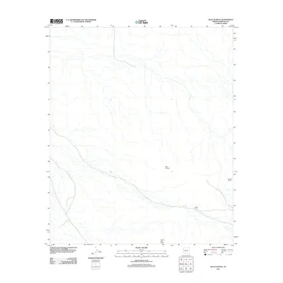
2011 Map of Blue Plateau
USGS Topo · Published 2011About this map
The arid high country of Blue Plateau defines this landscape in Maricopa County, characterized by a complex network of dry washes and canyons that reveal the drainage patterns of the Arizona desert. The map captures the area as it appeared in the early 21st century, showing a terrain largely defined by its natural topography rather than human settlement. Evidence of ranching and remote operations appears at Halfway Corral, while distinctive natural landmarks such as Round Butte and Jack in the Pulpit serve as key navigational points in this vast open space. This survey provides a baseline of the regional hydrology and land features before any further modern development or environmental shifts altered these drainage systems.
Find a feature on this map
4 named features on this map. Tap any name to fly to it.
Don’t see what you’re looking for? This feature index may not catch every label — zoom into the map to look around manually.
Map Details
Editions of this 2011 Blue Plateau Map
This is the sole edition of this map. No revisions or reprints were ever made.
Other maps of this area

1951 · Estrella
USGS Topo · 1:62,500

1951 · Gila Bend
USGS Topo · 1:62,500

1953 · Ajo
USGS Topo · 1:250,000

1957 · Ajo
USGS Topo · 1:250,000

1958 · Ajo
USGS Topo · 1:250,000

1958 · Kaka
USGS Topo · 1:62,500

1958 · Hat Mountain
USGS Topo · 1:62,500

1962 · Ajo
USGS Topo · 1:250,000

1963 · Ajo
USGS Topo · 1:250,000

1967 · Ajo
USGS Topo · 1:250,000