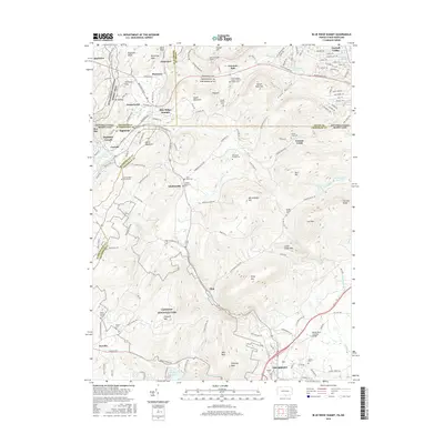
2016 Map of Blue Ridge Summit
USGS Topo · Published 2016About this map
Thurmont and the surrounding borderlands of the Pennsylvania-Maryland line define this landscape, where the ridges of South Mountain meet the northern edge of Catoctin Mountain Park. The area is marked by a dense network of family and community heritage sites, including numerous burial grounds like Apples Cem and Wellers Cem near the town center. The map captures the complex topography of the Blue Ridge, featuring landmarks such as Wolf Rock and Chimney Rock that loom over the valley floor.
Find a feature on this map
163 named features on this map. Tap any name to fly to it.
Don’t see what you’re looking for? This feature index may not catch every label — zoom into the map to look around manually.
Map Details
Editions of this 2016 Blue Ridge Summit Map
This is the sole edition of this map. No revisions or reprints were ever made.
Other maps of this area

1902 · Chambersburg
USGS Topo · 1:62,500

1909 · Fairfield
USGS Topo · 1:62,500

1909 · Hagerstown
USGS Topo · 1:48,000

1911 · Emmitsburg
USGS Topo · 1:62,500

1912 · Hagerstown
USGS Topo · 1:62,500

1942 · Hagerstown
USGS Topo · 1:125,000

1942 · Gettysburg
USGS Topo · 1:125,000

1943 · Emmitsburg
USGS Topo · 1:62,500

1943 · Hagerstown
USGS Topo · 1:125,000

1943 · Chambersburg
USGS Topo · 1:62,500
Featured Places
- Thurmont, MD
- Carroll Valley, PA
- Highfield-Cascade, MD
- Blue Ridge Summit, Washington Township
- Sabillasville, MD