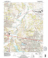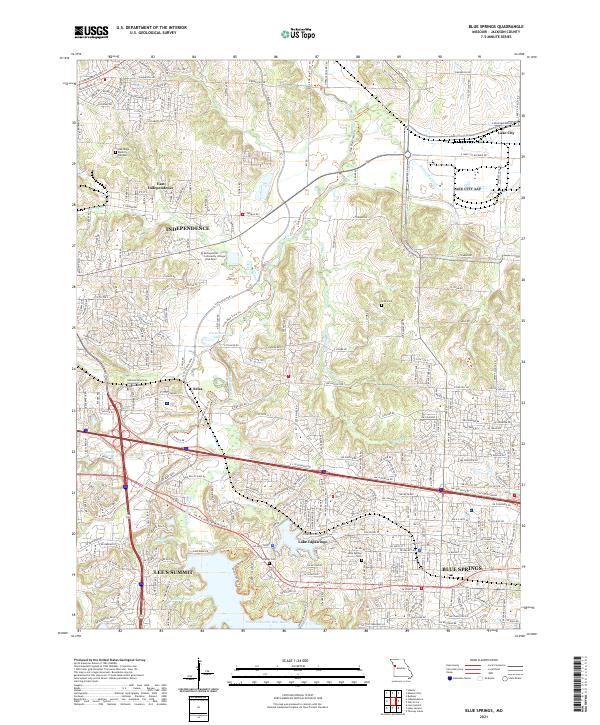
2021 Map of Blue Springs
USGS Topo · Published 2021About this map
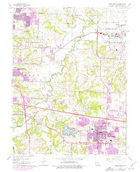
Blue Springs and Lee's Summit anchor this modern survey of eastern Jackson County, where suburban expansion meets the riparian corridors of the Little Blue River. The landscape is defined by its water and recreational infrastructure, notably the established community of Lake Tapawingo and smaller bodies like Horseshoe Lake and Mirror Lakes. Traces of the area's older rural character remain visible in family-named landmarks such as Lobb Cem and Stanley Cem, even as institutional growth is marked by the presence of Metropolitan Community College - Blue River.
Find a feature on this map
23 named features on this map. Tap any name to fly to it.
Don’t see what you’re looking for? This feature index may not catch every label — zoom into the map to look around manually.
Map Details
Editions of this 2021 Blue Springs Map
This is the sole edition of this map. No revisions or reprints were ever made.
Historical Maps of Independence Through Time
6 maps found